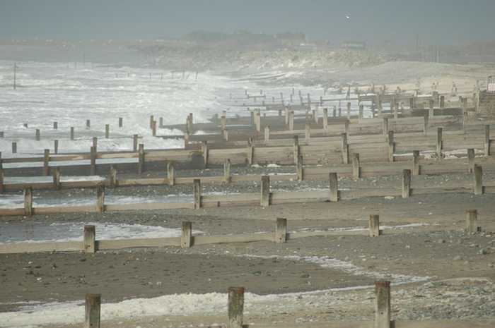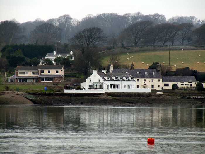
Nigel Williams
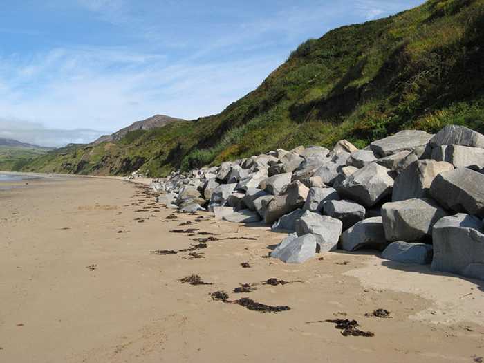
Photo: Nigel Williams CC BY-SA 2.0

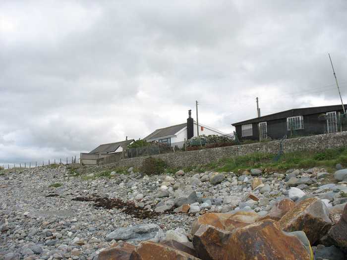
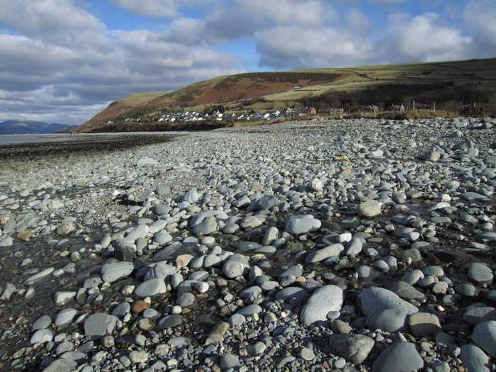
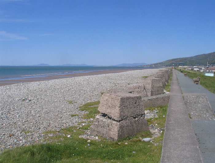
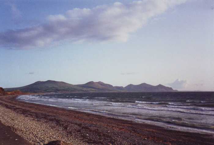
Felinheli Sailing Club Beach

Rating: 0.0/5 (0 votes)

  • Water temp(satellite):
  • 6.9°C
  • 2025-01-21

Weather forecast
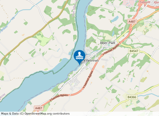
Felinheli Sailing Club  Beach on the map
Report water temp:

Photos near Felinheli Sailing Club Beach

Do you have a nice picture from Felinheli Sailing Club Beach?
By uploading an image, you certify that you own the image and that it may be displayed on beachexplorer.co.uk

Reviews of Felinheli Sailing Club Beach

No reviews of Felinheli Sailing Club Beach yet...
Please help the next visitor by writing a few lines about the beach, are there toilets? Is it shallow? Is there a jetty or maybe a kiosk?
What do you think of the beach?

Popular beaches near Gwynedd

Dave Croker
Photo: Dave Croker CC BY-SA 2.0
Llwyngwril Beach
E Gammie
Photo: E Gammie CC BY-SA 2.0
Fairbourne Beach
nick macneill
Photo: nick macneill CC BY-SA 2.0
Morfa Dinlle Beach
William Pugh
Photo: William Pugh CC BY-SA 2.0
Tywyn Beach
Eric Jones
Photo: Eric Jones CC BY-SA 2.0
Pontllyfni Beach Pontllyfni Beach lies 3 kilometers north west of Clynnog, Gwynedd.
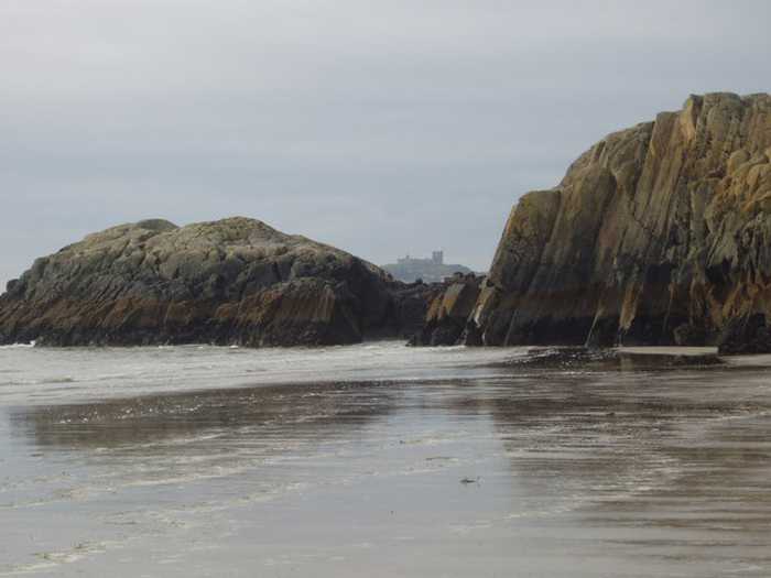
Ian Rushin
Photo: Ian Rushin CC BY-SA 2.0
Craig Du Beach Craig Du Beach or Black Rock Sand Beach is located in Gwynedd 2 kilometers west of Morfa Bychan.
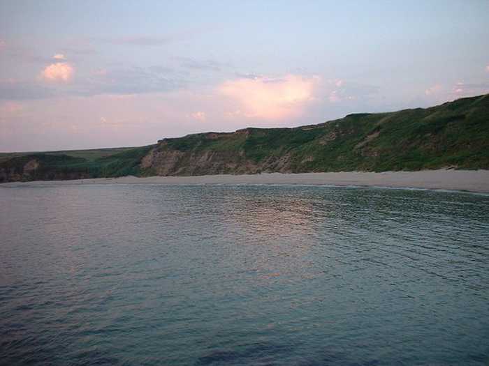
Darren Haddock
Photo: Darren Haddock CC BY-SA 2.0
Porth Oer Beach Porth Oer Beach is situated about 4 kilometers north west of Aberdaron.
Jonathan Wilkins 
Photo: Jonathan Wilkins  CC BY-SA 2.0
Porth Dinllaen Beach Porth Dinllaen Beach is situated about 600 meters west of Nefyn.
Beaches close to Felinheli Sailing Club Beach

Plas Menai Beach ⟼ 2.5 km away
Menai Bridge St Georges Pier Beach ⟼ 5.8 km away
Beaumaris Beach ⟼ 12.3 km away
Beaumaris Beach is 300 meters east of Beaumaris in the county of Isle of Anglesey.
Llanddwyn Beach ⟼ 12.6 km away
Llanddwyn Beach or Newborough Beach
Pentraeth Beach ⟼ 12.8 km away
Newborough Beach ⟼ 12.8 km away
Red Wharf Bay ⟼ 13.6 km away
Red Wharf Bay beach lies 500 meters east of Red Wharf Bay, Isle of Anglesey.
Morfa Dinlle Beach ⟼ 13.7 km away
Llanddona Beach ⟼ 14.1 km away
St Davids Beach ⟼ 14.5 km away
Beach explorer UK Source for water samples and information: the Environmental Protection Agency, users of the site and local municipalities.
Source for weather data: Met Éireann© (CC BY 4.0) Disclaimer: Met Éireann does not accept any liability whatsoever for any error or omission in the data, their availability, or for any loss or damage arising from their use.
Source of satellite-read water temperature: Copernicus Sentinel satellite data from the European Space Agency.