Nigel Homer
Photo: Nigel Homer CC BY-SA 2.0

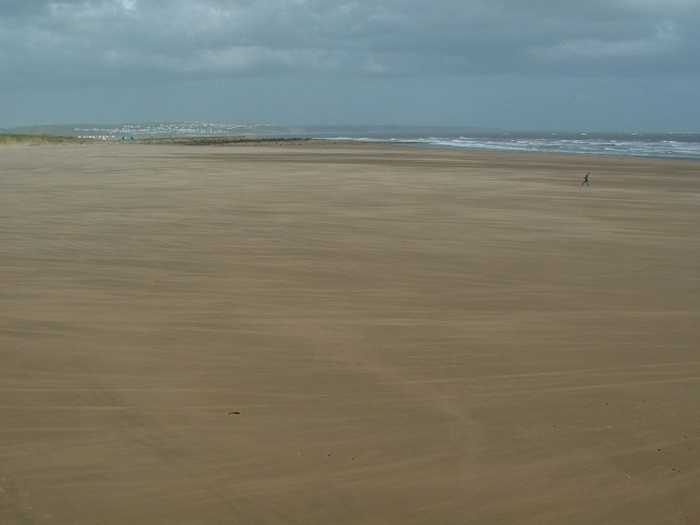
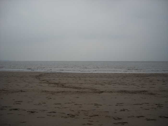
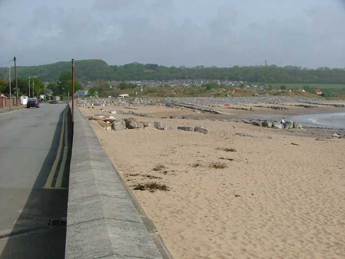
Porthcawl Newton Bay

Rating: 0.0/5 (0 votes)

  • Water temp(satellite):
  • 7.3°C
  • 2025-01-21

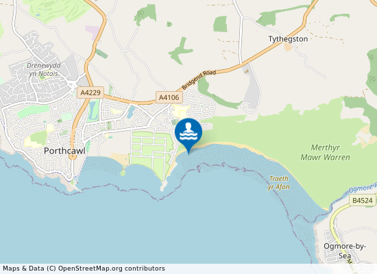
Porthcawl Newton Bay beach is 700 meters south east of Newton in the county of Bridgend.

Weather forecast
Porthcawl Newton Bay on the map
Report water temp:

Photos near Porthcawl Newton Bay

Martin Edwards
Photo: Martin Edwards CC BY-SA 2.0
Sophie Lewis
Photo: Sophie Lewis CC BY-SA 3.0
Do you have a nice picture from Porthcawl Newton Bay?
By uploading an image, you certify that you own the image and that it may be displayed on beachexplorer.co.uk

Reviews of Porthcawl Newton Bay

No reviews of Porthcawl Newton Bay yet...
Please help the next visitor by writing a few lines about the beach, are there toilets? Is it shallow? Is there a jetty or maybe a kiosk?
What do you think of the beach?

Popular beaches near Bridgend

Chris Shaw
Photo: Chris Shaw CC BY-SA 2.0
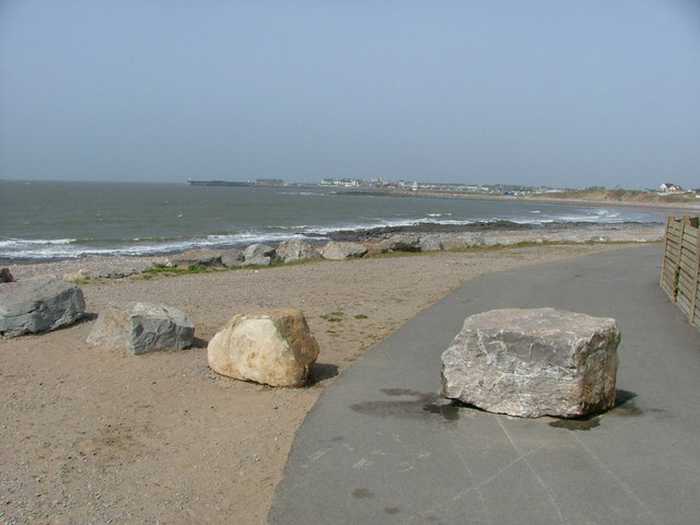
Porthcawl Sandy Bay Porthcawl Sandy Bay beach lies in Bridgend, 700 meters east of Porthcawl.
Nigel Homer
Photo: Nigel Homer CC BY-SA 2.0
Porthcawl Trecco Bay Porthcawl Trecco Bay beach lies in Bridgend, 2 kilometers east of Porthcawl.
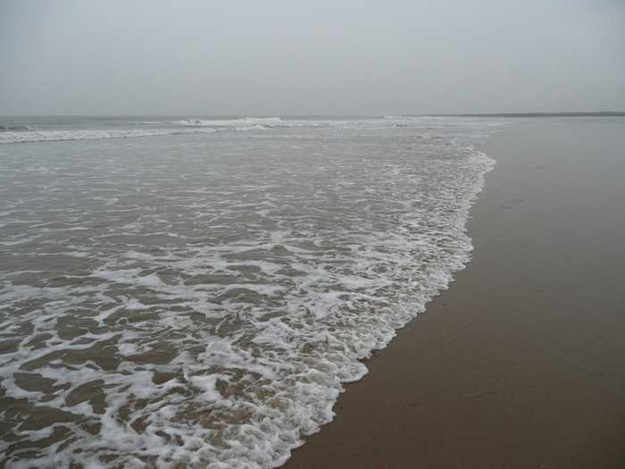
Jonathan Billinger
Photo: Jonathan Billinger CC BY-SA 2.0
Porthcawl Rest Bay Porthcawl Rest Bay beach lies 3 kilometers south of Kenfig, Bridgend.
Beaches close to Porthcawl Newton Bay

Porthcawl Trecco Bay ⟼ 0.8 km away
Porthcawl Trecco Bay beach lies in Bridgend, 2 kilometers east of Porthcawl.
Porthcawl Sandy Bay ⟼ 1.6 km away
Porthcawl Sandy Bay beach lies in Bridgend, 700 meters east of Porthcawl.
Ogmore Slip Beach ⟼ 2.4 km away
Ogmore Central Beach ⟼ 3.2 km away
Porthcawl Rest Bay ⟼ 3.9 km away
Porthcawl Rest Bay beach lies 3 kilometers south of Kenfig, Bridgend.
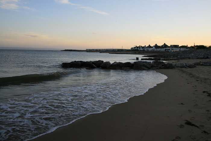
Southerndown Beach ⟼ 6 km away
Dunraven Bay
Aberafan Margam Sands ⟼ 10.2 km away
Aberafan Margam Sands beach is situated in the county of Neath Port Talbot, 5 kilometers south east of Port Talbot.
Tresilian Bay ⟼ 14.2 km away
Llantwit Major Beach ⟼ 15.1 km away
Aberafan Beach ⟼ 16.2 km away
Aberafan Beach is about 3 kilometers south west of Port Talbot.
Beach explorer UK Source for water samples and information: the Environmental Protection Agency, users of the site and local municipalities.
Source for weather data: Met Éireann© (CC BY 4.0) Disclaimer: Met Éireann does not accept any liability whatsoever for any error or omission in the data, their availability, or for any loss or damage arising from their use.
Source of satellite-read water temperature: Copernicus Sentinel satellite data from the European Space Agency.