Shirley Grant
Photo: Shirley Grant CC BY-SA 2.0

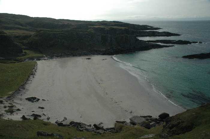
Traigh Bhan Na Sgurra or Scoor

Rating: 0.0/5 (0 votes)

  • Water temp(satellite):
  • 9.4°C
  • 2025-01-21

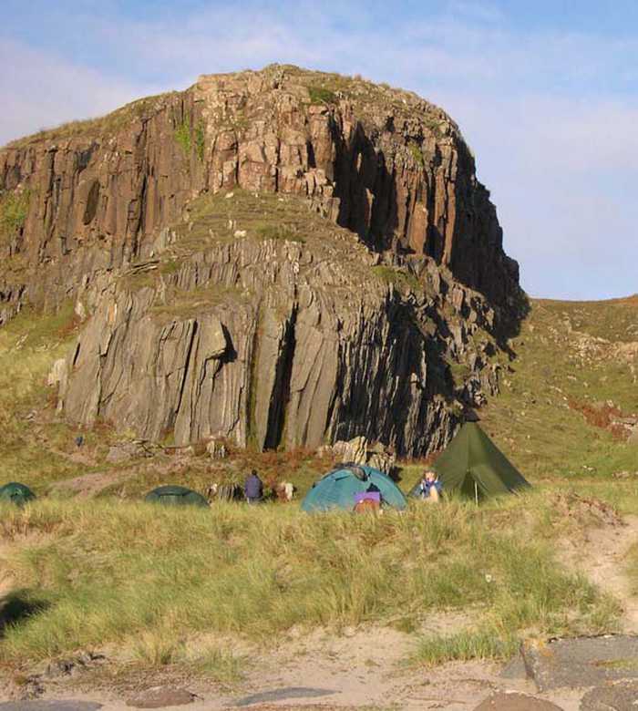
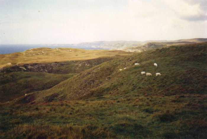
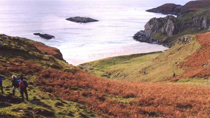
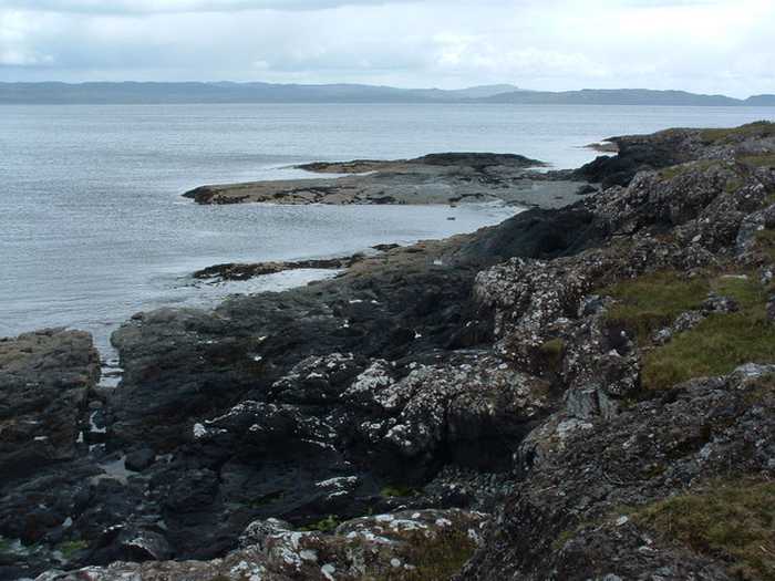
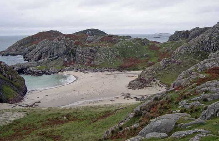
The Gaelic name "Rocky White Beach" perfectly describes the picturesque Scoor beach located on the southern coast of Mull. It can be reached after a 15-minute walk from Scoor House, and is surrounded by magnificent cliffs and steep slopes. However, due to the challenging terrain, it's essential to visit the beach with care and caution, as it's not for the faint-hearted. To explore this beach, you will need walking boots and some level of fitness. Additionally, the area is a Golden Eagle territory, making it a perfect location for bird watching enthusiasts. For more information on how to explore the area and its walking trails, visit the Kilveckeon walking page.

Weather forecast
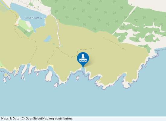
Traigh Bhan Na Sgurra or Scoor on the map
Report water temp:

Photos near Traigh Bhan Na Sgurra or Scoor
Adam Ward
Photo: Adam Ward CC BY-SA 2.0
Nick R
Photo: Nick R CC BY-SA 2.0
June Hodge 
Photo: June Hodge  CC BY-SA 2.0
Anne Burgess
Photo: Anne Burgess CC BY-SA 2.0
Do you have a nice picture from Traigh Bhan Na Sgurra or Scoor?
By uploading an image, you certify that you own the image and that it may be displayed on beachexplorer.co.uk

Reviews of Traigh Bhan Na Sgurra or Scoor

No reviews of Traigh Bhan Na Sgurra or Scoor yet...
Please help the next visitor by writing a few lines about the beach, are there toilets? Is it shallow? Is there a jetty or maybe a kiosk?
What do you think of the beach?

Popular beaches near Argyll and Bute

Alan Stewart
Photo: Alan Stewart CC BY-SA 2.0
Croggan Beach This particular beach boasts a tranquil and isolated location, accessible by parking at Croggan and embarking on a le...
Gordon Hatton
Photo: Gordon Hatton CC BY-SA 2.0
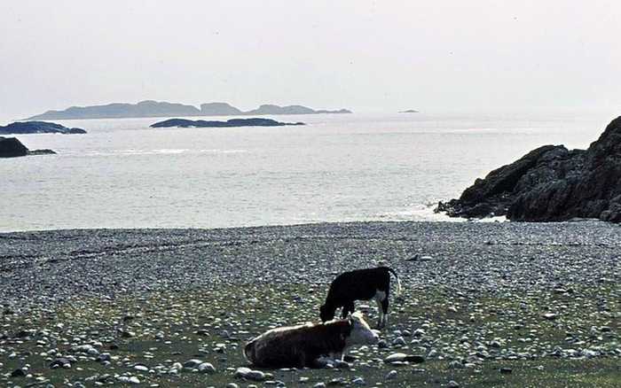
St Columba's Bay, At the southern edge of Iona lies a secluded beach made up of beautifully coloured pebbles. It is believed to be the ...
Richard Webb
Photo: Richard Webb CC BY-SA 2.0
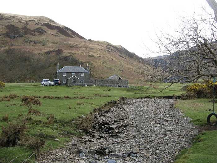
Laggan Sands The Laggan Beach, located in Loch Buie, boasts stunning silver sands, which can be reached by taking a pleasant hour-...
Graham Hogg 
Photo: Graham Hogg  CC BY-SA 2.0
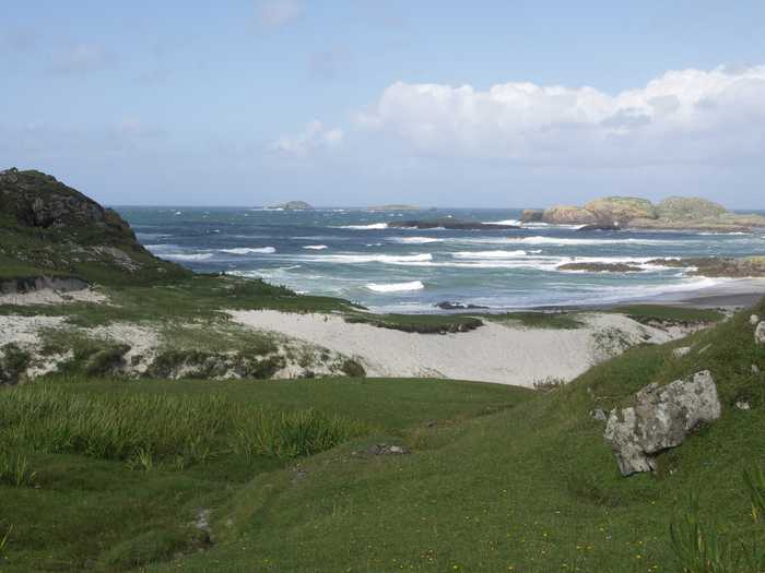
Bay at the back of the Ocean Nestled at the southern end of the road lies a spectacular beach adorned with shimmering white sand and shells, affec...
Gerald England
Photo: Gerald England CC BY-SA 2.0
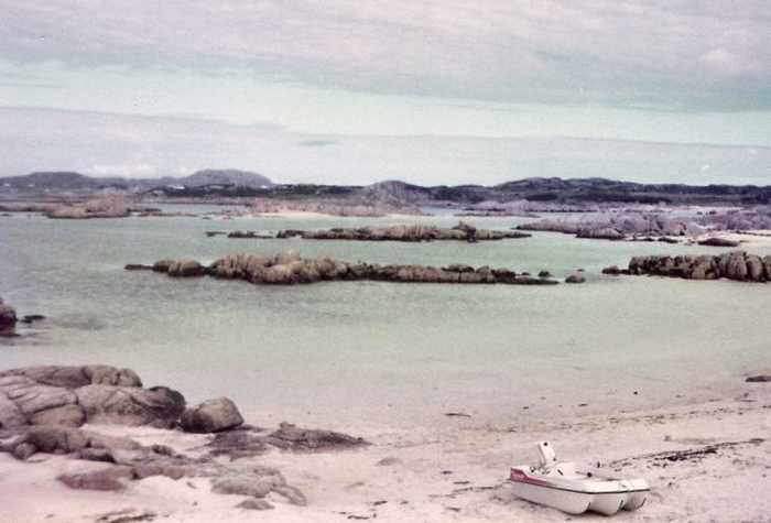
Fidden Beach This magnificent beach boasts vast stretches of glistening white sand, punctuated by magnificent pink granite outcrop...
Richard Webb
Photo: Richard Webb CC BY-SA 2.0
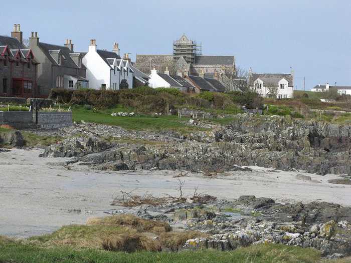
St Ronan's Bay The beach located beneath the village of Baille Mor, adjacent to the bustling ferry pier, features stunning rocky whi...
June Hodge 
Photo: June Hodge  CC BY-SA 2.0
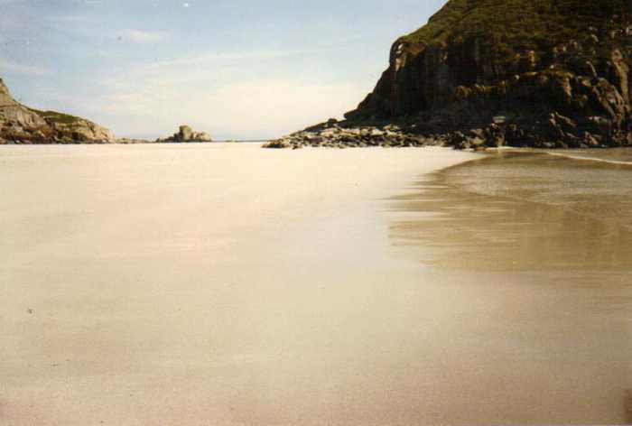
Kilvickeon Beach Isle of Mull To get to Kilvickeon beach, drive along Craignure to Fionnphort road until you reach the turn off just before Bunessa...
Nick R
Photo: Nick R CC BY-SA 2.0
Traigh a Mhill Nestled in seclusion lies a charming inlet boasting pristine white sands and deep waters. Aptly named "Inlet of the r...
Beaches close to Traigh Bhan Na Sgurra or Scoor

Kilvickeon Beach Isle of Mull ⟼ 1.2 km away
To get to Kilvickeon beach, drive along Craignure to Fionnphort road until you reach the turn off just before Bunessan, which is signposted for Scoor. Keep going along a rough track until you arrive at a small parking space located opposite the ruined 12th century Kilvickeon Church and Cemetery. Park your car here and take a right turn onto the tractor track. Follow this track for approximately 10 minutes through fields and two gates until you reach the picturesque Kilvickeon beach. At this beautiful beach, you can spot Ferral goats, along with a range of wildlife- including eagles, kestrels, hen harriers, otters, and seals. It's an ideal place for picnics and safe swimming. You can find more details about the beach on the walking page of our website: www.iona-bed-breakfast-mull.com. Please keep your dog on a lead while on this beach.
Beach of the Dun (Fort) Dun a Gheard Fort of February ⟼ 1.7 km away
To reach Kilvickeon Beach, you must climb a short hill west of the track. Follow the Galloway Dyke through the gate and turn left to come around the base of the hill. The result is a beautiful sandy cove. Above the beach, you will find the remains of a fort at the top of the hill. This fort played a role in The Battle of Port Bheathain, which pitted the Mull Macleans against the Colonsay MacPhees. More information about walks in the area can be found on www.iona-bed-breakfast.com. Please be aware that dogs must be kept on a lead at all times. Additionally, this walk requires walking boots and a certain degree of fitness.
Port Bheathain Beach also known as the Bay of Thumbs ⟼ 2 km away
The beach in question is known for its historical significance, as there have been tales of battle between the Macleans of Duart Mull and the MacPhees of Colonsay. Interestingly, there are two sand coves which are believed to have been the scene of this confrontation. Reports suggest that following the battle, the MacLeans cut off the thumbs of the MacPhees, preventing them from being able to row back to Colonsay. If you wish to visit this remote location, you can follow the directions to the Beach of the Fort, which is situated to the east. From the hill where the fort stands, you will get a clear view of the beach from a distance. Additionally, to the west, you can spot the Uisken Village. For further information on walks and other activities in the area, check out the website www.iona-bed-breakfast.com.
Uisken Beach "water bay" ⟼ 2.9 km away
This lovely beach boasts soft, glistening white sand and a shallow shoreline dotted with picturesque rocky islands. Located just two miles from the charming village of Bunessan, visitors to the beach may take advantage of the convenient on-site car park. This beach is a popular spot for families to enjoy picnics and camping trips. One notable feature of the beach is the ruined pier of the former salmon fishery, which adds a unique historical touch. Nearby, there is also a quaint Bothy to explore. For those seeking adventure, a short and exhilarating hike to the nearby stone cairn rewards explorers with spectacular vistas. This beach is truly a treasure for all to enjoy.
Ardalanish Beach ⟼ 4.7 km away
The beach is perfectly stunning, and on a bright day, one could easily mistake it for a beach in Barbados. To reach the beach, one may only do so on foot as the parking area is located about a half mile away. Turn right from the Uisken road, which is situated in Bunessan. This area also features significant historic sites such as an Iron Age Fort, a Standing Stone, and a Cave. During the summer, visitors can expect to see livestock grazing near the beach and a beautiful array of wildflowers in May and June. For more information on hiking and walking activities, please see the Walking Page Ardalanish.
Traigh Ghael Beach ⟼ 8.3 km away
Traigh Ghael, also known as the Gaelic beach of the Highlander, is a serene and isolated beach located on the southern coast of Mull. To access the beach, one must take the road to Fidden from Fionnphort and park a few miles prior to Knockvologan Farm. An honesty box on the entrance to the gate provides visitors with access to helpful maps. The journey takes approximately one hour on foot over the moor, where one may spot rare butterflies and admire the wildflowers along the way. John, a local, has attested to Traigh Ghael as being the finest beach on Mull.
Port nan Ron ⟼ 10.1 km away
Nestled at the edge of a tranquil bay lies a pristine beach with powdery white sand. This secluded beach is not easily accessible due to its location amidst woods and rocky outcrops. Located within the Tireregan nature reserve, it is situated below the summit of Aird Mor, the highest point of the area. The beach is particularly renowned for hosting numerous common seals during the summer months, making it a prime spot for observing these majestic creatures.
Market Bay ⟼ 10.2 km away
Discovering this beach takes a bit of effort to navigate through some rough terrain. However, a few years back, it was a popular spot for visitors, including those who arrived by the Royal Yacht, as well as those who were staying at the Seaview B&B, which is situated nearby.
Traigh a Mhill ⟼ 10.8 km away
Nestled in seclusion lies a charming inlet boasting pristine white sands and deep waters. Aptly named "Inlet of the round rocks," this serene spot is just a 10-minute stroll over the hill to the east of Knockvologan Beach. During low tide, it makes for an ideal destination for picnics and an invigorating swim. Take in the picturesque beauty of this hidden gem and enjoy a tranquil day by the sea.
Knockvologan Beach ⟼ 11.3 km away
Located in Fionnphort, Knockvologan Beach can be accessed by taking the road to Knockvologan Farm which is 3 miles away. Once you reach the farm, park your car and walk for approximately 5 minutes down the track that leads to the sea. On your left-hand side, you will find Knockvologan's three beaches. If you turn right, you can access the tidal Erraid Sound by crossing it only before the low water period. For detailed safety instructions, please refer to the Walking Page Erraid. If you plan to visit the island of Erraid, which was the inspiration for Robert Louis Stevenson's Kidnapped, please seek permission from John beforehand. The island can only be accessed during low tide. The grid reference for Knockvologan Beach is NM 307 198.
Beach explorer UK Source for water samples and information: the Environmental Protection Agency, users of the site and local municipalities.
Source for weather data: Met Éireann© (CC BY 4.0) Disclaimer: Met Éireann does not accept any liability whatsoever for any error or omission in the data, their availability, or for any loss or damage arising from their use.
Source of satellite-read water temperature: Copernicus Sentinel satellite data from the European Space Agency.