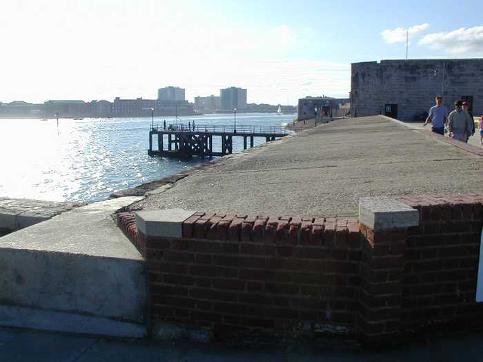
Portsmouth Victoria Pier Beach
- Water temp(satellite):
- 9.8°C
- 2025-12-25
Portsmouth Victoria Pier Beach lies 300 meters south west of Old Portsmouth, Portsmouth.
Please help the next visitor by writing a few lines about the beach, are there toilets? Is it shallow? Is there a jetty or maybe a kiosk?
Beaches close to Portsmouth Victoria Pier Beach
The bathing water is a popular resort beach near to Southsea shopping centre south of Portsmouth. The entire length of the beach faces south across the Solent with views of the Isle of Wight to the west. The beach is predominantly shingle with sand exposed at low water. A promenade sits above the beach, with a grassed area and lake to one end. There is a pier on the east side of the bathing water with amusements and restaurants. From 2014 the sample point will be 300 metres west of previous location, as detailed on the Bathing Water Map. The new location reflects an area used by bathers.
The bathing water is a gently shelving beach in Hampshire on the South coast. The beach faces south-west across the Solent and is sheltered from the wind by the Isle of Wight. The beach is predominantly shingle with some sand exposed at low tide. A promenade sits above the western side of the beach and behind is a large grassed area with the village of Alverstoke beyond.
The bathing water is situated in the southeast corner of Portsea Island which is part of the city of Portsmouth. The entire length of beach faces south across the Solent with views of the Isle of Wight to the west. The beach is predominantly shingle, interspersed with significant amounts of vegetation, with sand exposed at low water. A promenade sits above the beach with an urban backdrop. Part of the beach has been used by Naturists for decades.
The bathing water is a gently shelving resort beach adjacent to the shopping centre of Lee-on-the-Solent. More than 1 km of beach faces south-west, across the end of Southampton Water and the Solent and is sheltered from the wind by the Isle of Wight. The beach is predominantly shingle with some sand intermixed. A promenade sits above the beach, behind which is a grassed area with an urban backdrop.
Ryde Beach is a long, straight sandy resort to the north of Ryde Town Centre on the northeast coast of the Isle of Wight. To the east of the long pier and marina the sandy beach extends far out at low tide. The Town esplanade with its swimming pool and canoe lake allows easy access. The Monktonmead Brook, crossing the beach to the west of the designated sampling point, is often contaminated with bacterial pollution.

