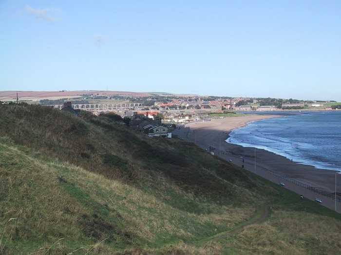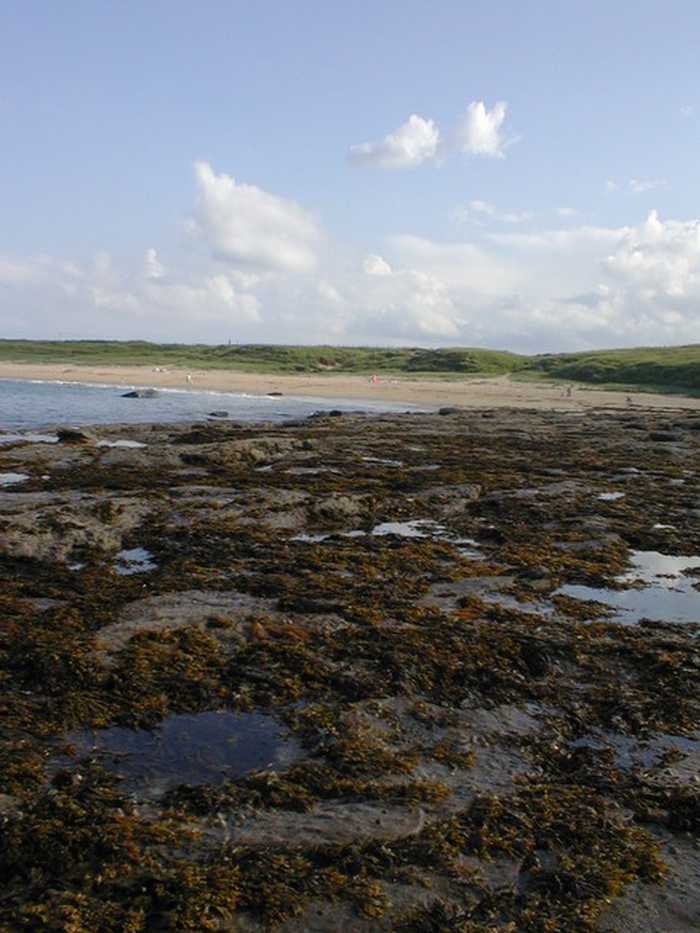
Ray Byrne
Photo: Ray Byrne CC BY-SA 2.0

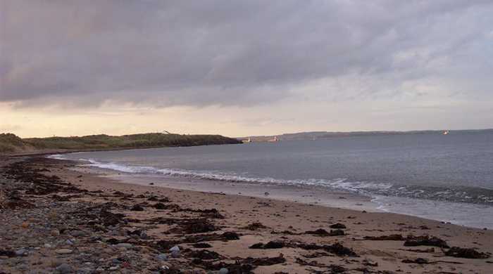
Longhoughton Steel Beach

Rating: 0.0/5 (0 votes)

  • Water temp(satellite):
  • 7.0°C
  • 2025-01-21

Weather forecast
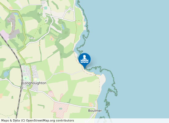
Longhoughton Steel Beach on the map
Report water temp:

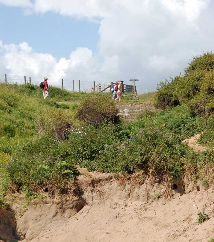
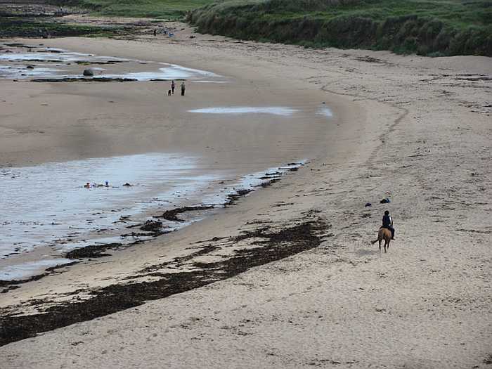
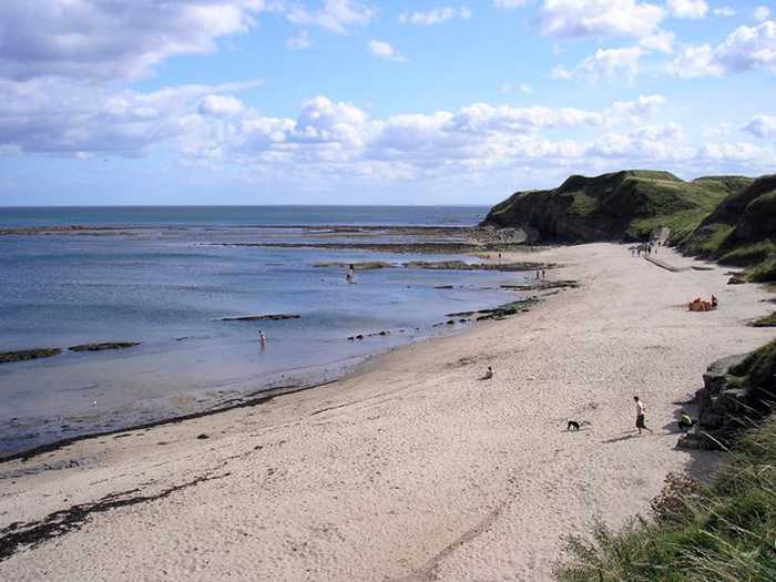
Photos near Longhoughton Steel Beach

Andy F
Photo: Andy F CC BY-SA 2.0
Andy F
Photo: Andy F CC BY-SA 2.0
Richard Webb 
Photo: Richard Webb  CC BY-SA 2.0
Do you have a nice picture from Longhoughton Steel Beach?
By uploading an image, you certify that you own the image and that it may be displayed on beachexplorer.co.uk

Reviews of Longhoughton Steel Beach

No reviews of Longhoughton Steel Beach yet...
Please help the next visitor by writing a few lines about the beach, are there toilets? Is it shallow? Is there a jetty or maybe a kiosk?
What do you think of the beach?

Popular beaches near Northumberland

Sarah Charlesworth
Photo: Sarah Charlesworth CC BY-SA 2.0
Spittal Spittal Beach is a gently sloping resort beach approximately one kilometre long situated immediately south of the mou...
Iain Lees
Photo: Iain Lees CC BY-SA 2.0
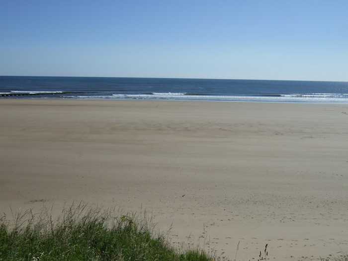
Fishermans Haven Beach
JThomas 
Photo: JThomas  CC BY-SA 2.0
Cambois North Beach Cambois North Beach is approximately 4 kilometers north of Blyth.
Alex McGregor 
Photo: Alex McGregor  CC BY-SA 2.0
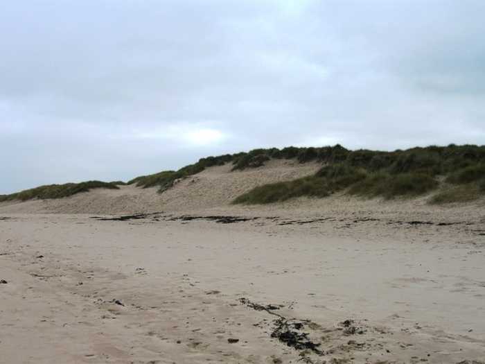
Cresswell Beach Cresswell Beach lies 400 meters north west of Cresswell, Northumberland.
Andrew Curtis
Photo: Andrew Curtis CC BY-SA 2.0
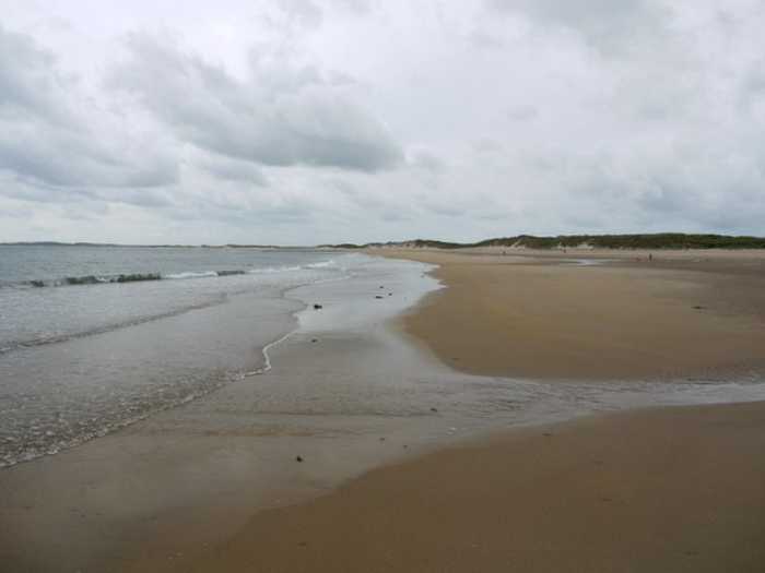
Druridge Bay North Duridge Bay North Beach is a remote bathing water on the north east coast of Northumberland. The designated bathing w...
Helen Wilkinson
Photo: Helen Wilkinson CC BY-SA 2.0
Newbiggin South Newbiggin South Beach is a gently sloping resort beach at the southern end of Newbiggin Bay. It is approx 750 metres ...
Sandra White
Photo: Sandra White CC BY-SA 2.0
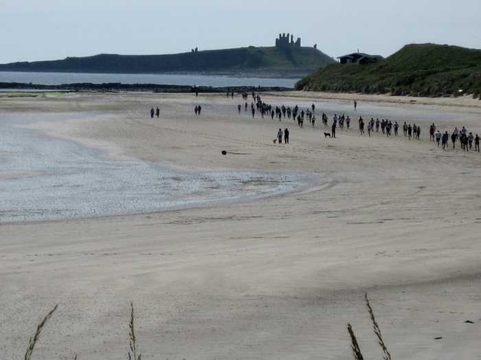
Amble Links Amble links Beach is a remote bathing water on the Northumberland coast. The gently sloping sandy beach is one kilome...
Chris Heaton
Photo: Chris Heaton CC BY-SA 2.0
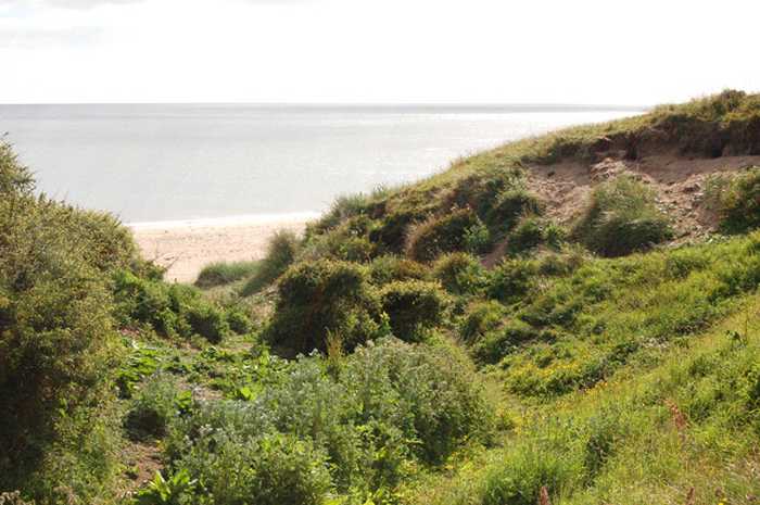
Low Newton Low Newton Beach is a remote bathing water on the north Northumberland coast. The gently sloping sandy beach is 0.5 k...
Beaches close to Longhoughton Steel Beach

Craster Beach ⟼ 4.2 km away
Craster Beach is situated in the county of Northumberland, 100 meters north east of Craster.
Alnmouth Beach ⟼ 5.5 km away
Alnmouth Beach is located in Northumberland 300 meters south east of Alnmouth.
Low Newton Beach ⟼ 8.9 km away
Low Newton ⟼ 9 km away
Low Newton Beach is a remote bathing water on the north Northumberland coast. The gently sloping sandy beach is 0.5 kilometres long with the Environment Agency sampling point to the northern end of the bay.
Warkworth ⟼ 9.2 km away
Warkworth Beach is a remote beach situated on the north east coast of Northumberland. The designated area of the long, gently sloping sandy beach is one kilometre long.
Warkworth Beach ⟼ 9.3 km away
Amble Links ⟼ 12.2 km away
Amble links Beach is a remote bathing water on the Northumberland coast. The gently sloping sandy beach is one kilometre long.
Amble Links Beach ⟼ 12.4 km away
Amble Links Beach is located 2 kilometers east of Amble in the county of Northumberland.
Beadnell ⟼ 13 km away
Beadnell Beach is a remote bathing water on the north Northumberland coast. Measuring three kilometres in length with the Environment Agency sampling point to the north end of the bay, close to the village of Beadnell. The gently sloping sandy beach can result in a long distance to the sea at low tide. A stream called the Long Nanny crosses the bay to the south of the Environment Agency's designated sampling point.
Beadnell Beach ⟼ 13.1 km away
Beadnell Beach is situated in the county of Northumberland, 900 meters south east of Beadnell.
Beach explorer UK Source for water samples and information: the Environmental Protection Agency, users of the site and local municipalities.
Source for weather data: Met Éireann© (CC BY 4.0) Disclaimer: Met Éireann does not accept any liability whatsoever for any error or omission in the data, their availability, or for any loss or damage arising from their use.
Source of satellite-read water temperature: Copernicus Sentinel satellite data from the European Space Agency.