Mick Garratt
Photo: Mick Garratt CC BY-SA 2.0

Redcar Lifeboat Station

Rating: 0.0/5 (0 votes)

  • Water temp(satellite):
  • 6.7°C
  • 2025-01-21

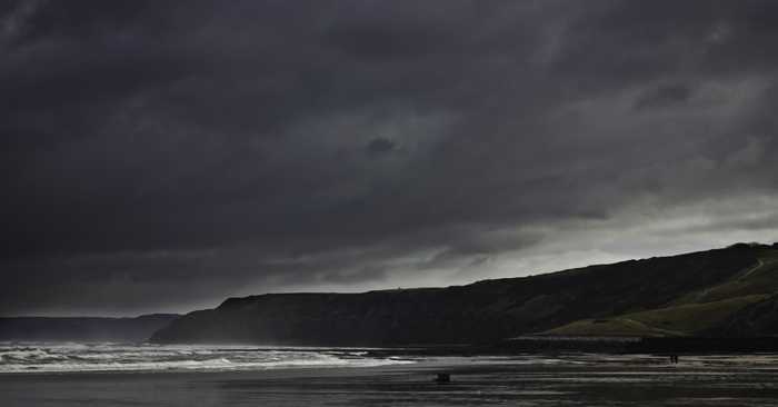
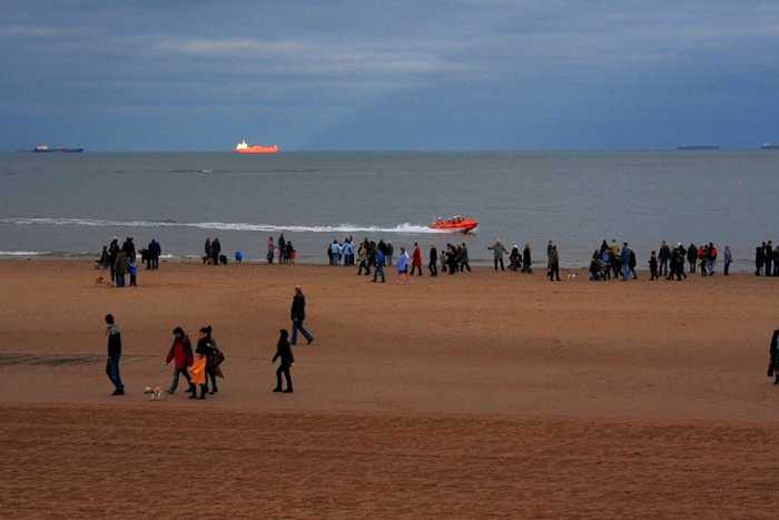
Redcar Lifeboat Station is one of four designated bathing beaches fronting the resort of Redcar. It is a gently-sloping sandy beach between Coatham Rocks and Redcar Rocks. The station offers training sessions on Sunday mornings and Wednesday evenings, and all visitors are warmly welcomed to observe. The viewing platform provides a great vantage point to see the crew in action during training sessions.

Weather forecast
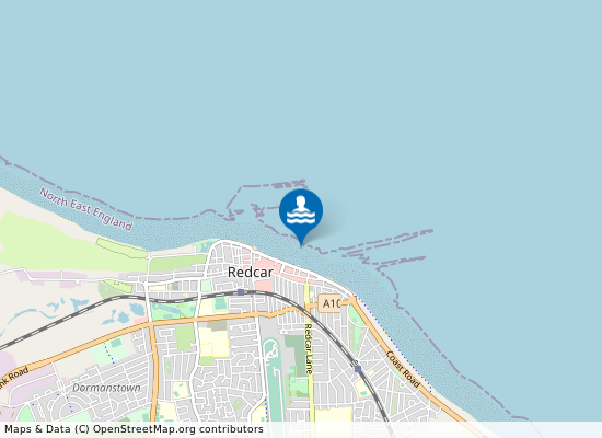
Redcar Lifeboat Station on the map
Report water temp:

Photos near Redcar Lifeboat Station

Ian Cardinal 
Photo: Ian Cardinal  CC BY-SA 2.0
Do you have a nice picture from Redcar Lifeboat Station?
By uploading an image, you certify that you own the image and that it may be displayed on beachexplorer.co.uk

Reviews of Redcar Lifeboat Station

No reviews of Redcar Lifeboat Station yet...
Please help the next visitor by writing a few lines about the beach, are there toilets? Is it shallow? Is there a jetty or maybe a kiosk?
What do you think of the beach?

Popular beaches near North Yorkshire

Lee Mills
Photo: Lee Mills CC BY-SA 3.0
Scarborough South Bay Scarborough South Beach is a popular resort beach situated on the Yorkshire coast. It is 0.5 kilometres in length wit...
Peter Church
Photo: Peter Church CC BY-SA 2.0
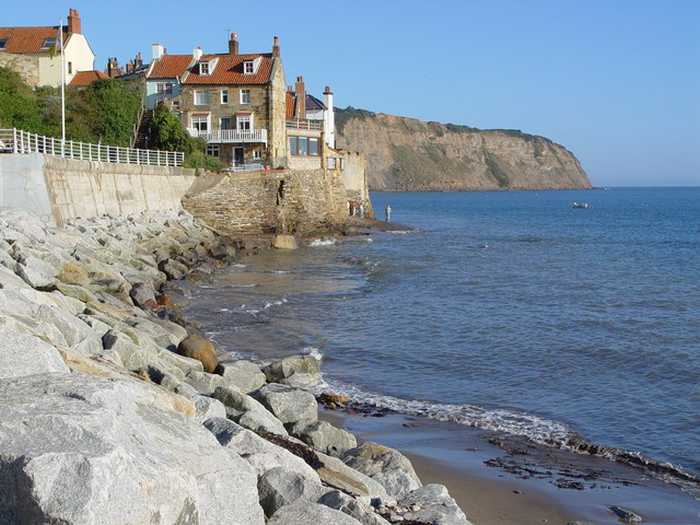
Robin Hoods Bay Robin Hood's Bay Beach is a small rural beach situated on the Yorkshire coast. It is approximately 200 metres in leng...
JHannanBriggs 
Photo: JHannanBriggs  CC BY-SA 2.0
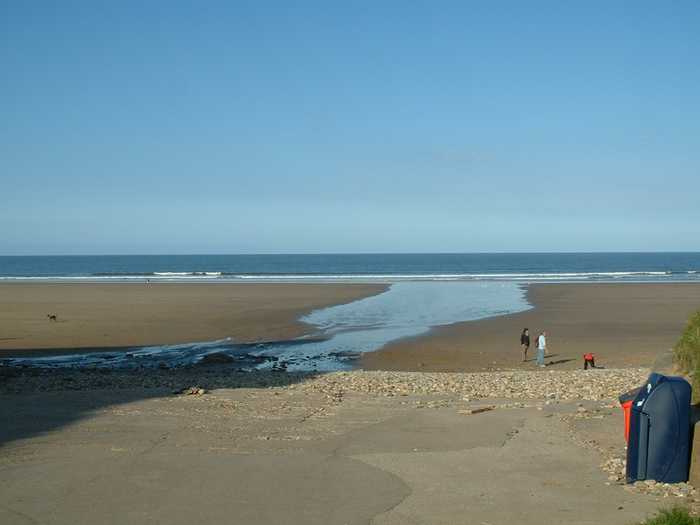
Reighton Beach Reighton Beach is in North Yorkshire, 16 kilometers south east of Scarborough.
Stephen McCulloch
Photo: Stephen McCulloch CC BY-SA 2.0
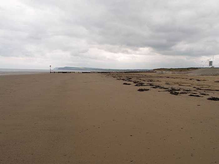
Redcar Granville Redcar Granville is one of four designated bathing beaches fronting the resort of Redcar. It is a gently-sloping sand...
Mick Garratt
Photo: Mick Garratt CC BY-SA 2.0
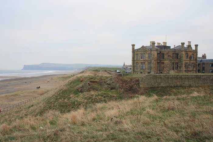
Marske Sands Marske Sands is a gently-sloping sandy beach fronting the town from which it takes its name. The designated bathing w...
Mick Garratt
Photo: Mick Garratt CC BY-SA 2.0
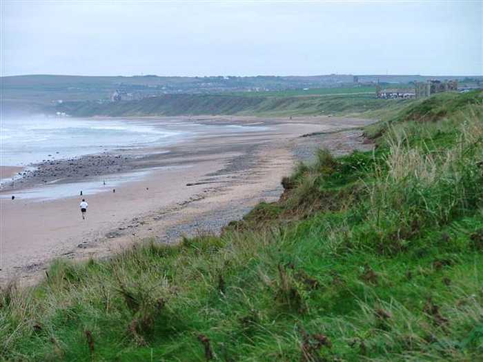
Redcar Stray Redcar Stray is the southernmost of four designated bathing beaches fronting the resort of Redcar. It is a gently-slo...
Peter Church
Photo: Peter Church CC BY-SA 2.0
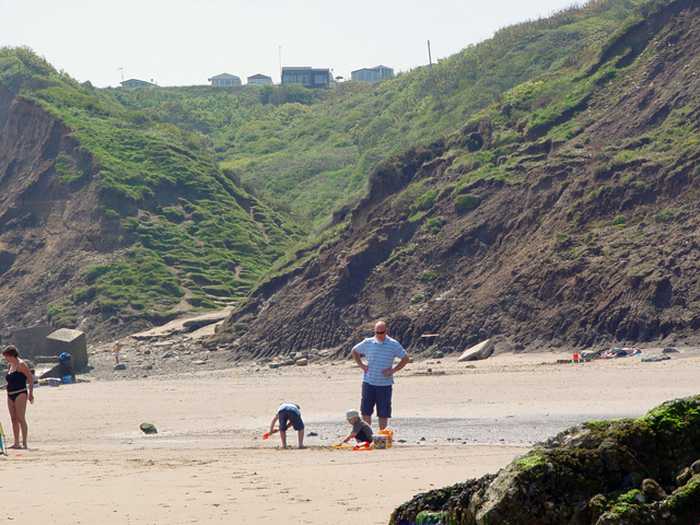
Reighton Reighton Beach is a rural sandy beach situated on the Yorkshire coast. The designated bathing water area is one kilom...
Andrew Smith
Photo: Andrew Smith CC BY-SA 2.0
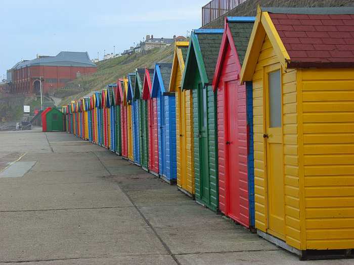
Whitby Whitby Beach is a large beach resort situated on the Yorkshire coast. The sandy beach is approximately one kilometre ...
Beaches close to Redcar Lifeboat Station

Redcar Lifeboat Station Beach ⟼ 0.1 km away
Redcar Lifeboat Station Beach is situated 500 meters north east of Redcar in Redcar and Cleveland.
Redcar Granville ⟼ 0.6 km away
Redcar Granville is one of four designated bathing beaches fronting the resort of Redcar. It is a gently-sloping sandy beach bounded at the low water mark by Redcar Rocks.
Redcar Granville Beach ⟼ 0.7 km away
Redcar Granville Beach lies in Redcar and Cleveland, 1 kilometers east of Redcar.
Redcar Coatham Beach ⟼ 1.3 km away
Redcar Coatham Beach is located 900 meters west of Redcar in the county of Redcar and Cleveland.
Redcar Coatham ⟼ 1.4 km away
Redcar Coatham is the northernmost of four designated bathing beaches fronting the seaside town of Redcar. It is a wide, gently-sloping sandy beach at the southern end of Coatham Sands, which lie immediately south of the mouth of the River Tees.
Redcar Stray Beach ⟼ 1.8 km away
Redcar Stray Beach is 2 kilometers east of Redcar in the county of Redcar and Cleveland.
Redcar Stray ⟼ 2.4 km away
Redcar Stray is the southernmost of four designated bathing beaches fronting the resort of Redcar. It is a gently-sloping sandy beach to the southeast of the town.
Marske Sands ⟼ 3.6 km away
Marske Sands is a gently-sloping sandy beach fronting the town from which it takes its name. The designated bathing water is 800 metres long.
Marske Sands ⟼ 3.8 km away
Saltburn ⟼ 6.9 km away
Saltburn beach is a gently-sloping sandy resort beach backed by cliffs. Its principal feature is the Victorian pier. Access to the beach from the higher parts of the town can be gained via the Victorian water-balanced cliff lift.
Beach explorer UK Source for water samples and information: the Environmental Protection Agency, users of the site and local municipalities.
Source for weather data: Met Éireann© (CC BY 4.0) Disclaimer: Met Éireann does not accept any liability whatsoever for any error or omission in the data, their availability, or for any loss or damage arising from their use.
Source of satellite-read water temperature: Copernicus Sentinel satellite data from the European Space Agency.