Evelyn Simak
Photo: Evelyn Simak CC BY-SA 2.0

West Runton

Rating: 0.0/5 (0 votes)

  • Water temp(satellite):
  • 5.9°C
  • 2025-01-21

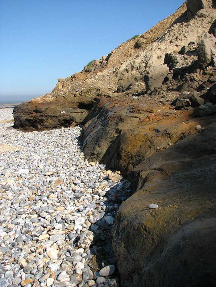
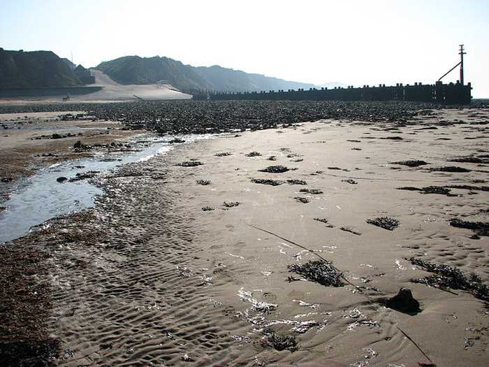
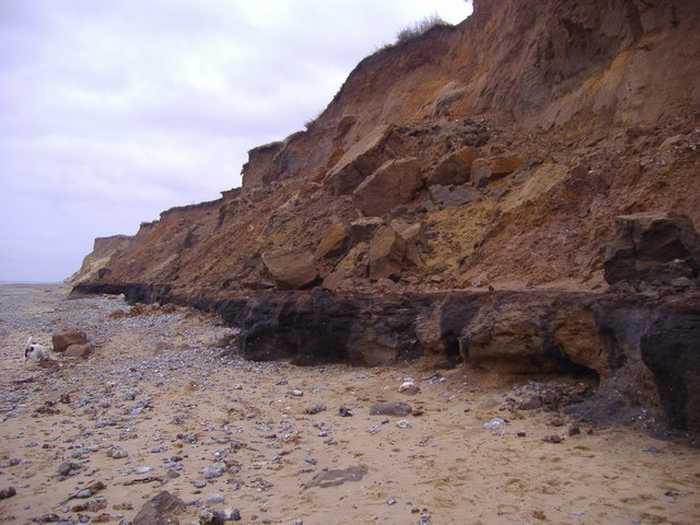
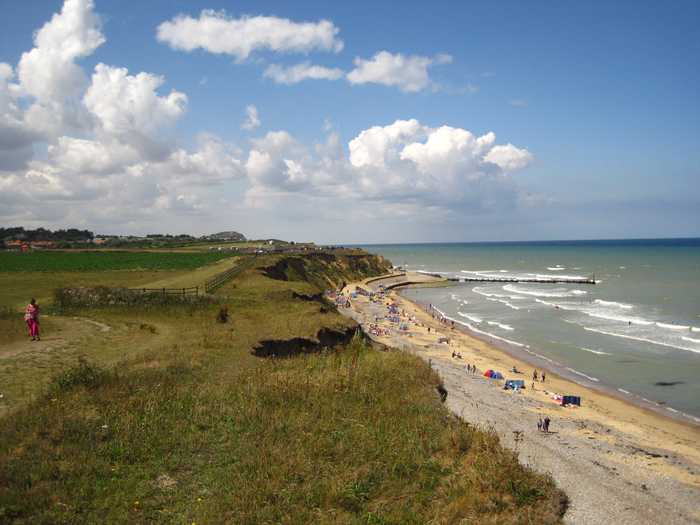
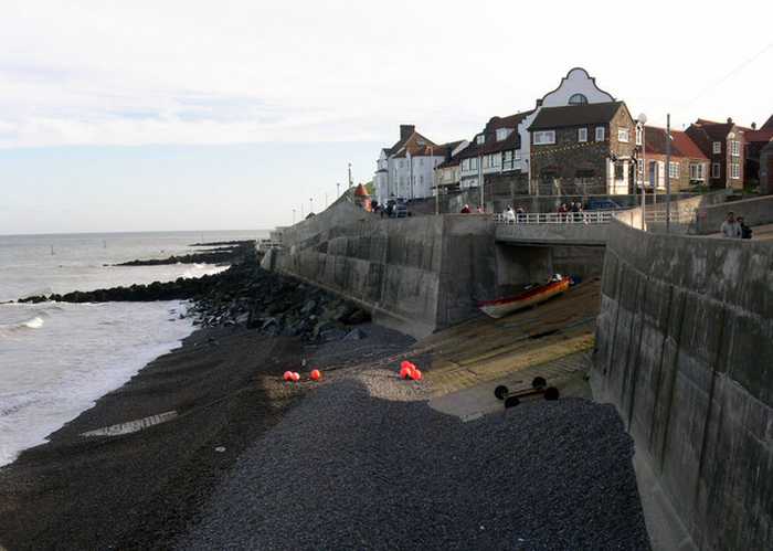
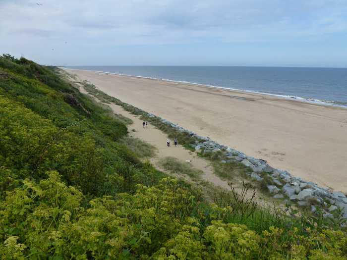
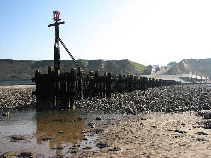
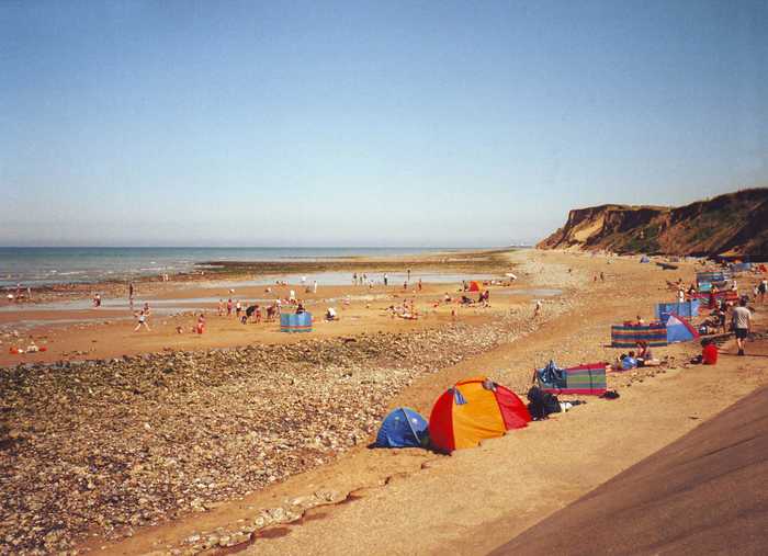
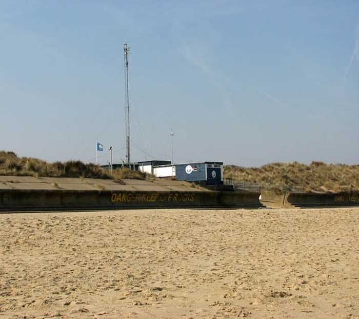
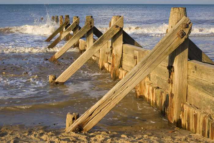
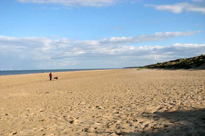
West Runton is predominately a sand and shingle beach, but also has some rocky areas and is backed by a sandy cliff. The beach is below cliffs which are protected from wave action by a series of wooden & concrete structures.

Weather forecast
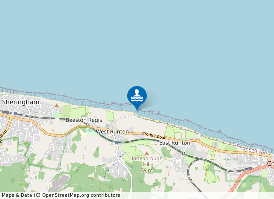
West Runton on the map
Report water temp:

Photos near West Runton

Evelyn Simak
Photo: Evelyn Simak CC BY-SA 2.0
Evelyn Simak
Photo: Evelyn Simak CC BY-SA 2.0
Mark Hobbs
Photo: Mark Hobbs CC BY-SA 2.0
Chris Holifield 
Photo: Chris Holifield  CC BY-SA 2.0
Do you have a nice picture from West Runton?
By uploading an image, you certify that you own the image and that it may be displayed on beachexplorer.co.uk

Reviews of West Runton

No reviews of West Runton yet...
Please help the next visitor by writing a few lines about the beach, are there toilets? Is it shallow? Is there a jetty or maybe a kiosk?
What do you think of the beach?

Popular beaches near Norfolk

gary radford
Photo: gary radford CC BY-SA 2.0
Sheringham Sheringham is a former fishing village, but is now a seaside town which still has fishing and crab boats plying trade...

Evelyn Simak 
Photo: Evelyn Simak  CC BY-SA 2.0
Winterton Beach
Jon Bunting from UK
Photo: Jon Bunting from UK CC BY 2.0
Great Yarmouth Pier Great Yarmouth is a large, busy and popular resort on the east coast of Norfolk. Yarmouth Pier beach is a wide sandy ...
Richard Humphrey 
Photo: Richard Humphrey  CC BY-SA 2.0
Scratby Beach
Christine Matthews
Photo: Christine Matthews CC BY-SA 2.0
Cromer Cromer is a popular resort on the North Norfolk coast. The beach has a promenade behind and the town on low cliffs ab...
David P Howard
Photo: David P Howard CC BY-SA 2.0
East Runton East Runton beach is a rural beach with cliffs and a rocky foreshore. At low tide there is an expanse of sand. The vi...
Evelyn Simak
Photo: Evelyn Simak CC BY-SA 2.0
Sea Palling Sea Palling is a small coastal hamlet and has a wide sandy beach with a series of shallow bays formed by man-made ree...
MichaelMaggs
Photo: MichaelMaggs CC BY-SA 3.0
Mundesley Mundesley is a popular traditional seaside resort with a sandy beach and tidal pools. It is backed by a raised promen...
Beaches close to West Runton

East Runton ⟼ 1.6 km away
East Runton beach is a rural beach with cliffs and a rocky foreshore. At low tide there is an expanse of sand. The village is a short walk away. Fossils of mammals such as deer, horses and mammoth, have been found in the cliffs at this beach.
Sheringham Beach ⟼ 2.6 km away
Sheringham ⟼ 3 km away
Sheringham is a former fishing village, but is now a seaside town which still has fishing and crab boats plying trade from the shore. It has a stony beach, but at low tide an expanse of sand and rock pools is revealed. The beach is backed by a promenade and the town.
Cromer ⟼ 3.5 km away
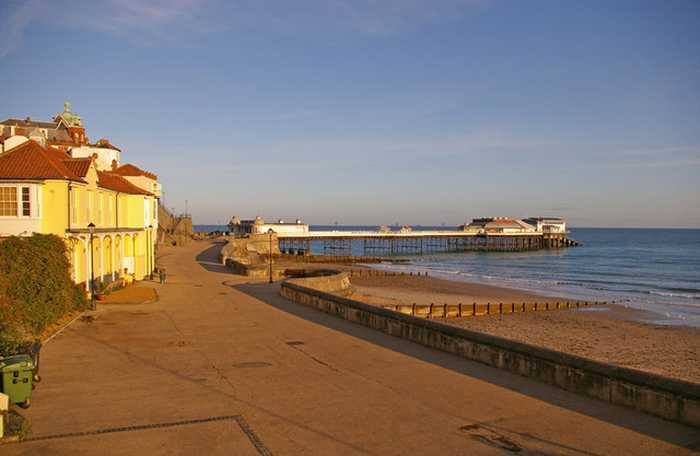
Cromer is a popular resort on the North Norfolk coast. The beach has a promenade behind and the town on low cliffs above. The designated bathing beach is sand and shingle, backed by sandy cliffs and close to the pier. Rock pools are revealed at low tide. The appearance of the beach can vary rapidly during storm events resulting in significant changes to the build-up of sand next to the sea wall.
Overstrand Beach ⟼ 6.6 km away
Cley Beach ⟼ 13.8 km away
Cley Beach is located in Norfolk 1 kilometers north of Cley next the Sea.
Mundesley ⟼ 14.6 km away
Mundesley is a popular traditional seaside resort with a sandy beach and tidal pools. It is backed by a raised promenade lined with colourful wooden beach huts. Cliffs form the backdrop with cliff top gardens.
Walcott Beach ⟼ 19.3 km away
Happisburgh Beach ⟼ 22.9 km away
Wells ⟼ 27.2 km away
Wells beach forms part of the Holkham estate. It is a long sweeping sandy beach backed by dunes and pine trees. The beach continues eastwards but can be cut off by the tide. There is a national nature reserve and salt marshes nearby.
Beach explorer UK Source for water samples and information: the Environmental Protection Agency, users of the site and local municipalities.
Source for weather data: Met Éireann© (CC BY 4.0) Disclaimer: Met Éireann does not accept any liability whatsoever for any error or omission in the data, their availability, or for any loss or damage arising from their use.
Source of satellite-read water temperature: Copernicus Sentinel satellite data from the European Space Agency.