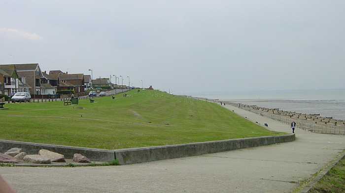
Penny Mayes
Photo: Penny Mayes CC BY-SA 2.0

Minster Leas

Rating: 0.0/5 (0 votes)

  • Water temp(satellite):
  • 5.2°C
  • 2025-01-21

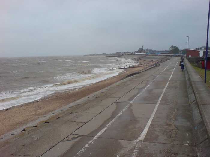
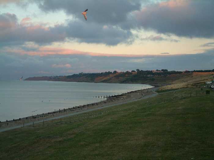
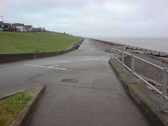
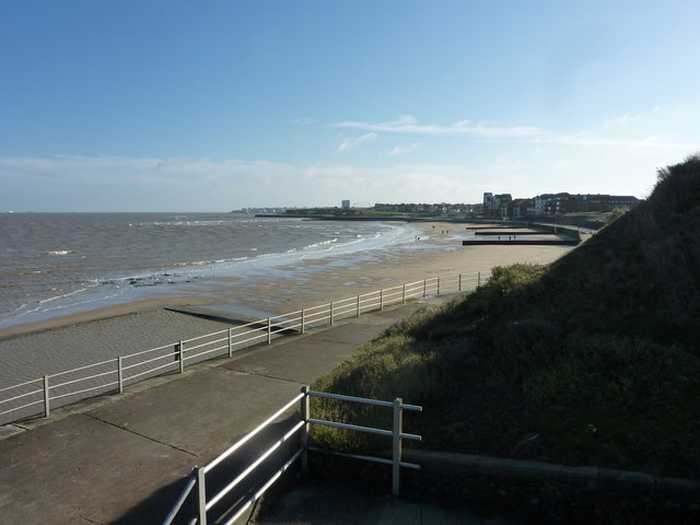
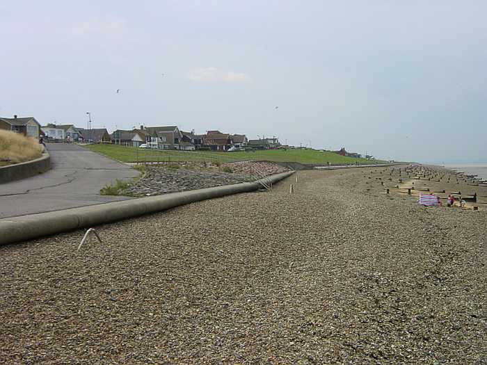
Minster Leas Beach is a popular pebble beach with limited opportunities for sandcastle building. It offers a lovely long walk along the front with cliffs at one end. There are ample parking options along the road and in a car park. The beach is a great place for dog walks and has two seafront pubs. Visitors should be cautious when walking towards Warden Point due to tide times and mud. There is a clean cafe on the front, but toilet facilities are a bit far. Parking can be an issue during good weather. Walking towards Warden Point may offer the chance to find fossils, particularly sharks' teeth.

Weather forecast
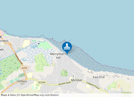
Minster Leas on the map
Report water temp:

Photos near Minster Leas

Penny Mayes
Photo: Penny Mayes CC BY-SA 2.0
Simon Lawson
Photo: Simon Lawson CC BY-SA 2.0
Danny Robinson
Photo: Danny Robinson CC BY-SA 2.0
Do you have a nice picture from Minster Leas?
By uploading an image, you certify that you own the image and that it may be displayed on beachexplorer.co.uk

Reviews of Minster Leas

No reviews of Minster Leas yet...
Please help the next visitor by writing a few lines about the beach, are there toilets? Is it shallow? Is there a jetty or maybe a kiosk?
What do you think of the beach?

Popular beaches near Kent

Danny Robinson
Photo: Danny Robinson CC BY-SA 2.0
Sheerness Sheerness bathing water is on the north coast of the Isle of Sheppey in Kent, near the mouths of the Thames and Medwa...
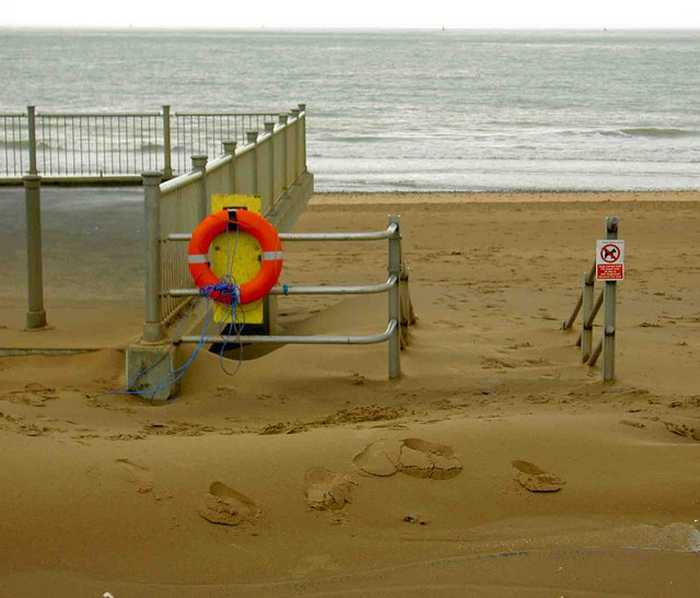
Steve  F
Photo: Steve F CC BY-SA 2.0
Ramsgate Sands Ramsgate Sands is a sandy resort beach with a promenade between the Royal Harbour and marina at the south and the whi...
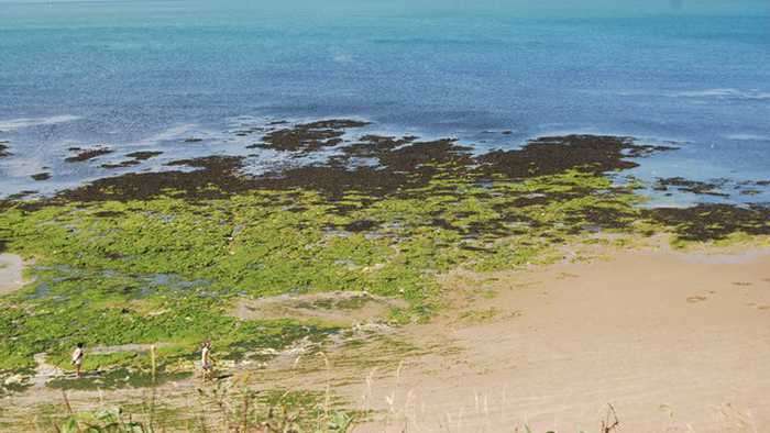
Nigel Chadwick
Photo: Nigel Chadwick CC BY-SA 2.0
Walpole Bay, Margate The bathing water is a resort beach on the north Kent coast near to Margate. It is a gently shelving sandy beach with...
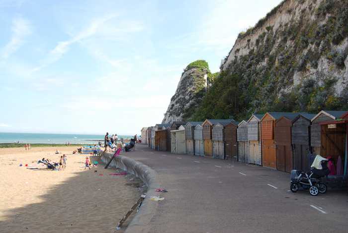
Nigel Chadwick
Photo: Nigel Chadwick CC BY-SA 2.0
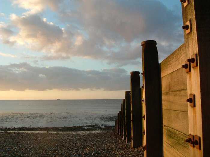
Broadstairs, Stone Bay Stone Bay in Broadstairs is a 600 metre sandy bay above a wave-cut rock platform, backed by a promenade and white cha...
pam fray 
Photo: pam fray  CC BY-SA 2.0
Westgate St Mildreds Bay
Ben Charlton
Photo: Ben Charlton CC BY-SA 2.0
Herne Bay The bathing water is a resort beach on the north Kent coast close to Herne Bay town centre. The bathing water is pred...
John Smitten
Photo: John Smitten CC BY-SA 2.0
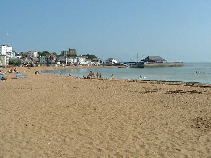
Broadstairs, Viking Bay Viking Bay in Broadstairs is a 300 metre sandy horse-shoe shaped bay, with cliff-top promenade, harbour pier and boar...
Nick Smith
Photo: Nick Smith CC BY-SA 2.0
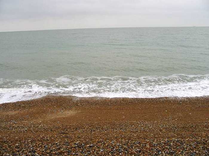
Hythe Hythe is a resort beach in the North of Hythe Bay, Kent. Hythe Bay stretches from Folkestone down to the headland of ...
Beaches close to Minster Leas

Minster Leas Beach ⟼ 0 km away
Sheerness Beach ⟼ 2.5 km away
Sheerness ⟼ 3.3 km away
Sheerness bathing water is on the north coast of the Isle of Sheppey in Kent, near the mouths of the Thames and Medway estuaries. It is a gently sloping shingle beach, backed by a large sea defence wall, which forms the promenade.
Leysdown ⟼ 8.9 km away
Leysdown is a traditional resort beach on the Isle of Sheppey. The gently sloping beach is mostly sandy, with some shell and shingle, and there is plenty of shallow water available as the tide retreats. The beach is bounded by flood defences and backed by a promenade.
Leysdown Beach ⟼ 9.1 km away
Shoeburyness Beach ⟼ 10.2 km away
Shoeburyness ⟼ 10.2 km away
Shoeburyness is a shingle beach at the easternmost tip of Southend's shoreline. The beach is backed by a promenade lined with beach huts. At the eastern end of the beach lies a slipway regularly used for launching boats and other water sport activities.
Shoebury East ⟼ 11 km away
Shoebury East Beach is a long sandy/shingle beach that is backed by a large area of open grassland. It is a gently shelving beach with a large tidal range and is popular for water sports such as windsurfing and kite surfing.
Shoebury East Beach ⟼ 11 km away
Southend Thorpe Bay ⟼ 11.2 km away
Beach explorer UK Source for water samples and information: the Environmental Protection Agency, users of the site and local municipalities.
Source for weather data: Met Éireann© (CC BY 4.0) Disclaimer: Met Éireann does not accept any liability whatsoever for any error or omission in the data, their availability, or for any loss or damage arising from their use.
Source of satellite-read water temperature: Copernicus Sentinel satellite data from the European Space Agency.