Lewis Clarke 
Photo: Lewis Clarke  CC BY-SA 2.0

Scratchell's Bay

Rating: 0.0/5 (0 votes)

  • Water temp(satellite):
  • 7.7°C
  • 2025-01-21

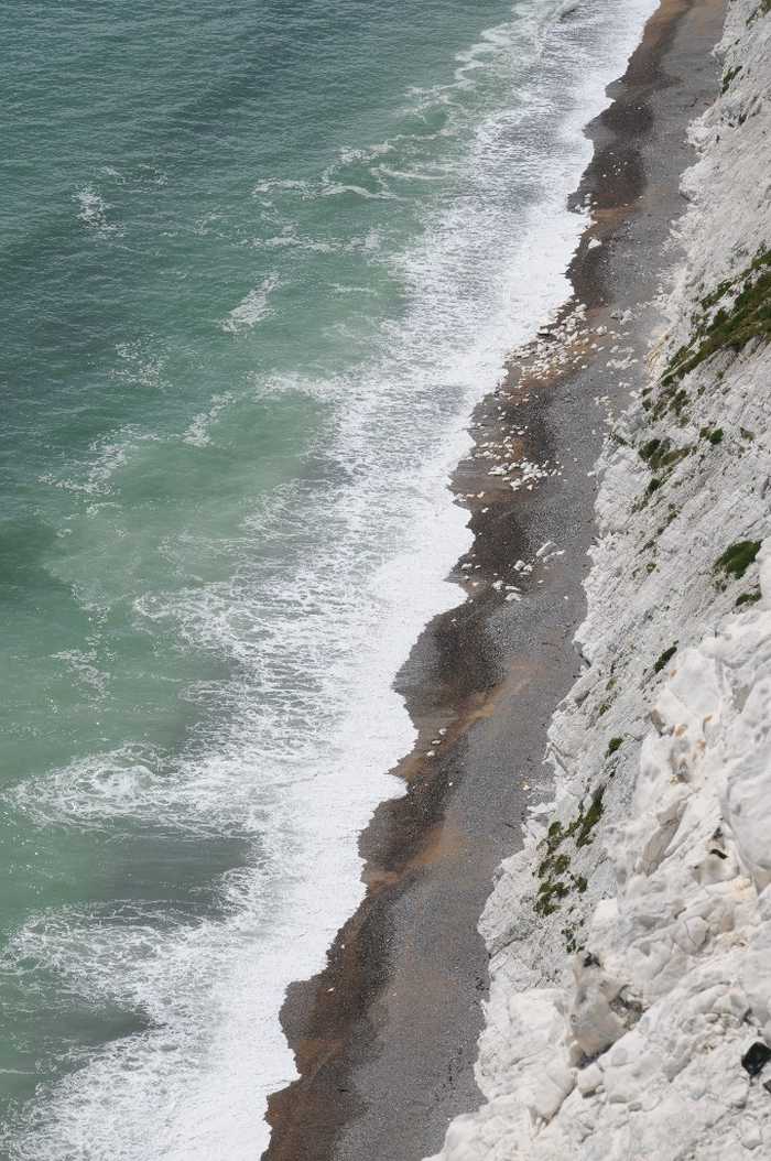
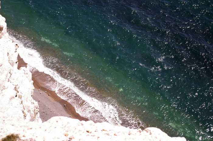
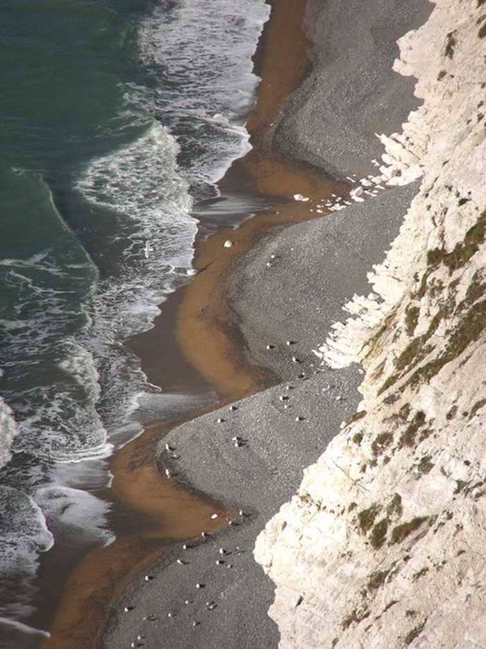
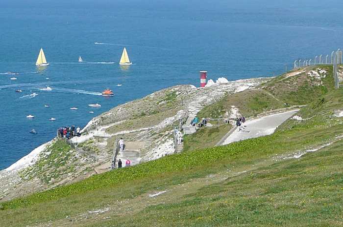
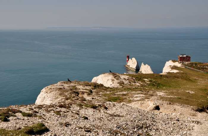
There is a secluded beach located near the Needles that is only accessible by boat or expert knowledge of the area. The beach is visible from a distance at the National Trust's Old Battery. Although it may not be practical to include in our beach guide, as it is not easily accessible for most visitors, I feel compelled to mention it for the sake of completeness.

Weather forecast
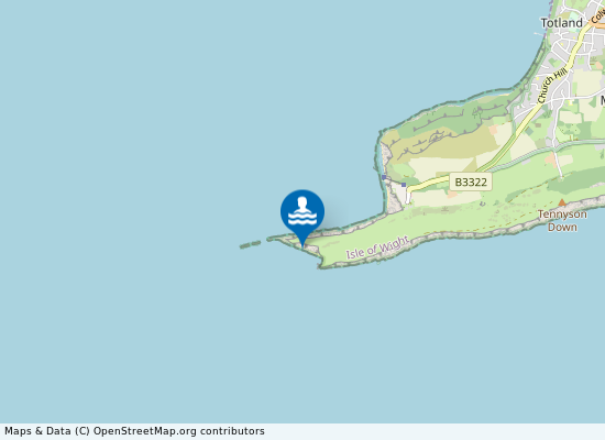
Scratchell's Bay on the map
Report water temp:

Photos near Scratchell's Bay

Philip Halling 
Photo: Philip Halling  CC BY-SA 2.0
Christine Matthews
Photo: Christine Matthews CC BY-SA 2.0
Chris Gunns
Photo: Chris Gunns CC BY-SA 2.0
Graham Horn
Photo: Graham Horn CC BY-SA 2.0
Do you have a nice picture from Scratchell's Bay?
By uploading an image, you certify that you own the image and that it may be displayed on beachexplorer.co.uk

Reviews of Scratchell's Bay

No reviews of Scratchell's Bay yet...
Please help the next visitor by writing a few lines about the beach, are there toilets? Is it shallow? Is there a jetty or maybe a kiosk?
What do you think of the beach?

Popular beaches near Isle of Wight

Steve Daniels 
Photo: Steve Daniels  CC BY-SA 2.0
Shanklin Shanklin beach on the south east coast of the Isle of Wight is towards the south of Sandown Bay. The southern half of...
Graham Horn
Photo: Graham Horn CC BY-SA 2.0
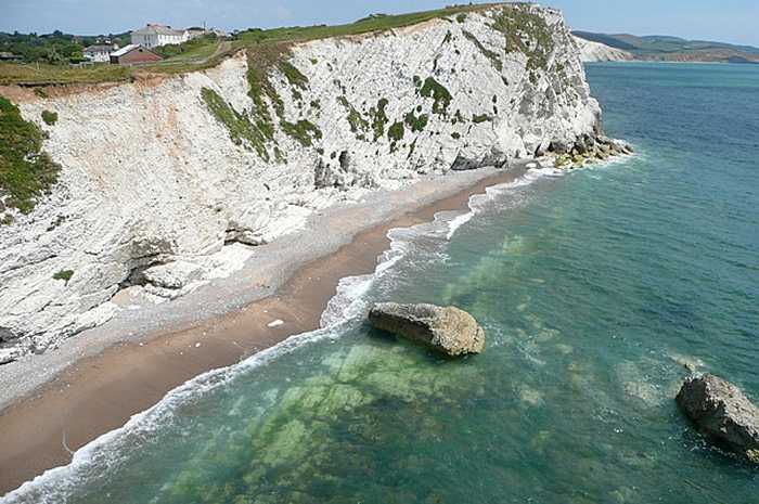
Watcombe Bay Watcombe Bay is a secluded beach that can only be reached through boat or kayak, or by abseiling down from the surrou...
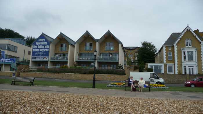
Arriva
Photo: Arriva CC BY-SA 3.0
Cowes To the west of the town, Cowes beach is mostly gravel and slopes into deep water with strong currents. At high tide t...
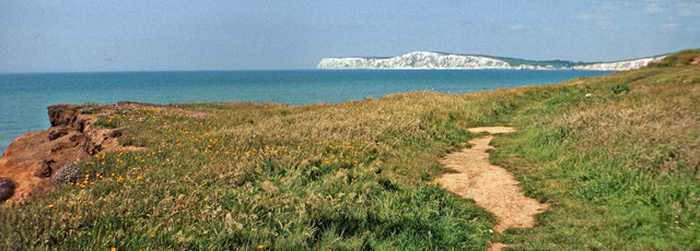
Christine Matthews
Photo: Christine Matthews CC BY-SA 2.0
Compton Bay Hanover Point / Compton Bay is a rural beach on the south west coast of the Isle of Wight. From the foot of the cliff...
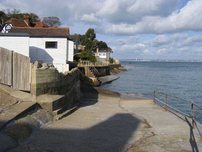
Shaun Ferguson
Photo: Shaun Ferguson CC BY-SA 2.0
Seagrove Seagrove is a small bay situated on the east coast of the Isle of Wight. Measuring less than 1km in length, the bay s...
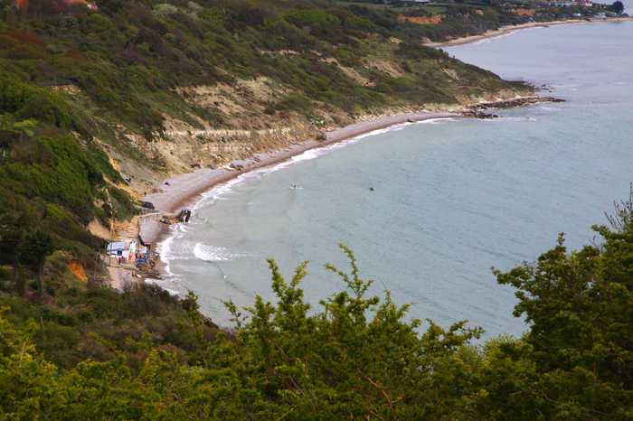
Steve Daniels 
Photo: Steve Daniels  CC BY-SA 2.0
Whitecliff Bay At the eastern tip of the Isle of Wight, Whitecliffe Bay is famous for the well-exposed sedimentary rock sequence whi...
Steve Daniels
Photo: Steve Daniels CC BY-SA 2.0
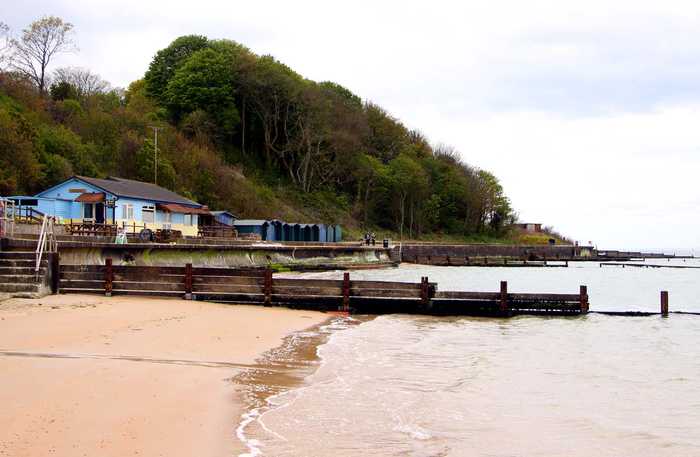
Colwell Bay Colwell Bay is a small resort situated on the north west coast of the Isle of Wight with panoramic views of the Solen...
Graham Horn
Photo: Graham Horn CC BY-SA 2.0
Bembridge Beach

Beaches close to Scratchell's Bay

Alum Bay ⟼ 1.2 km away
Take a leisurely chairlift ride down to the multi-colored sands of the beach. Enjoy a relaxing boat ride out to the needles. Be aware that walking on the beach may be challenging due to the large stones. Conveniently located toilets can be found in the pleasure park. This beach may not be the best option for swimming.
Totland Bay ⟼ 3.3 km away
Totland Bay is a small rural beach located at the north western end of the Isle of Wight which enjoys panoramic views of the Solent. The sandy beach slopes gently into the sea. There are cafes and facilities close by. At high tide, the beach may seem rocky, but it offers a breathtaking view and reveals sandy sections during low tide. Limited parking spots are available on the seafront, however, charges apply. If not parking on the seafront, the distance to the beach is relatively long. The toilet facilities are well-maintained and satisfactory. A restaurant is situated near the beachfront. It may not be suitable for swimming during high tide, as the beach is quite pebbly, so do bring a pair of wetsuit shoes.
Colwell Bay ⟼ 4.3 km away
Colwell Bay is a small resort situated on the north west coast of the Isle of Wight with panoramic views of the Solent and Hurst Castle. The sandy beach slopes gently. The area has several café's and facilities close by. Although not consisting of a vast expanse of sand, this beach still serves as a delightful spot for a refreshing swim, offering picturesque vistas and convenient amenities, including nearby parking facilities. Moreover, it is a welcoming destination for visitors with pets, especially if one makes a right turn at the slipway. Adjacent to the beach are a couple of eateries to grab a bite from. Additionally, one can indulge in a scenic coastal walk towards Totland. Colwell Bay beach is 100 meters north west of Colwell Bay in the county of Isle of Wight.
Watcombe Bay ⟼ 4.6 km away
Watcombe Bay is a secluded beach that can only be reached through boat or kayak, or by abseiling down from the surrounding cliffs. Its rocky terrain makes it unsuitable for those with pushchairs. Despite its lack of amenities, visitors can explore various caves and watch resident birds that may leave a surprise on their heads. It is important to note that due to changes in tides, people have been stranded at Watcombe Bay. Therefore, it is recommended to visit with a local expert who is familiar with the area and can provide guidance on navigating its waters.
Freshwater Bay ⟼ 5.2 km away
On one side of this coastal area, there is a stony beach while the other side boasts a sandier patch that emerges during low tide. Adjacent to it, is a convenient car park. This spot is ideal for watersports enthusiasts who enjoy big waves, but caution is advised as there are a few rocks in the vicinity.
Freshwater Bay Smuggler's Beach ⟼ 5.4 km away
This beach is a small, yet charming enclave that unveils itself during low tide and hosts several caves for exploration. Access is possible via kayak or by carefully walking across the rocks at Freshwater Bay during very low tides. However, it is important to note the high risk of dangerous scenarios such as drowning, slipping on rocks, getting trapped by the tide, or even simply scraping a knee. For these reasons, it is advisable to seek the counsel of a knowledgeable local who understands the tides. It is imperative to heed this warning - attempting to walk around solo is ill-advised due to the inherent hazards.
Fort Victoria Woodland Beach ⟼ 6.1 km away
There is a picturesque beach, whose name is not yet known, concealed within the woods. By strolling along a path, you can discover steps that lead down to the small, yet vibrant, beach. As you make your way towards the shore, you will come across handcrafted swings tucked away in the dense vegetation. Additionally, there is a designated nature trail that visitors can explore. It is important to note that there are no modern conveniences or amenities in this space.
Sconce Point ⟼ 6.6 km away
Located adjacent to Fort Victoria Country Park, there is a small, pebbly beach that may not be among our top preferences. However, the beach does offer convenient amenities such as parking facilities, restroom facilities, a café, and a grassy expanse suitable for picnicking.
Milford-on-sea Beach ⟼ 6.8 km away
Norton Beach ⟼ 7 km away
Beach explorer UK Source for water samples and information: the Environmental Protection Agency, users of the site and local municipalities.
Source for weather data: Met Éireann© (CC BY 4.0) Disclaimer: Met Éireann does not accept any liability whatsoever for any error or omission in the data, their availability, or for any loss or damage arising from their use.
Source of satellite-read water temperature: Copernicus Sentinel satellite data from the European Space Agency.