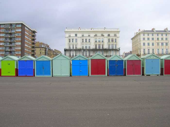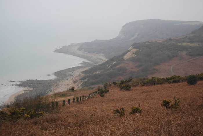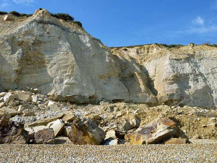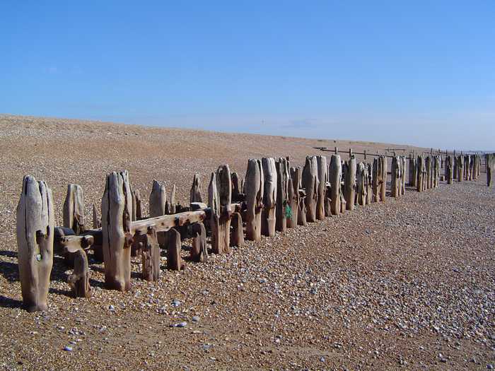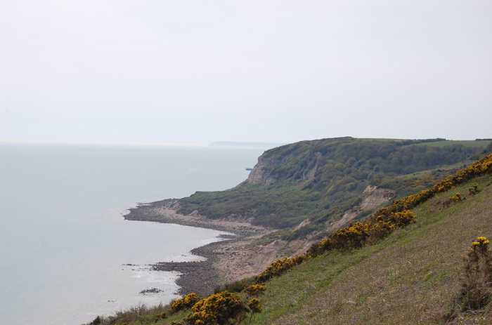
Julian P Guffogg
Photo: Julian P Guffogg CC BY-SA 2.0

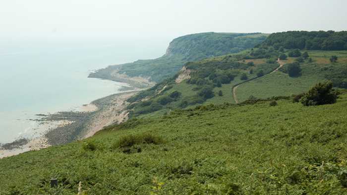
Hastings Fairlight Glen Beach

Rating: 0.0/5 (0 votes)

  • Water temp(satellite):
  • 7.6°C
  • 2025-01-21

Weather forecast
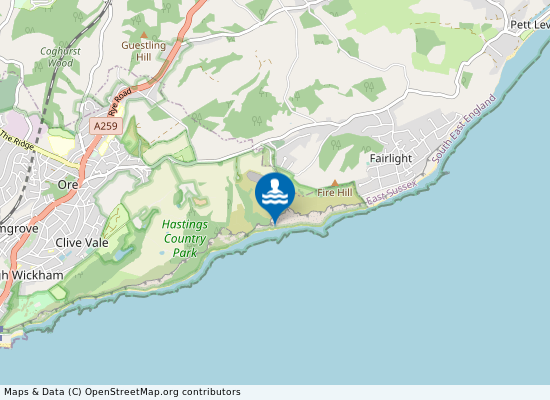
Hastings Fairlight Glen Beach on the map
Report water temp:

Photos near Hastings Fairlight Glen Beach

RRRR NNNN
Photo: RRRR NNNN CC BY-SA 2.0
N Chadwick 
Photo: N Chadwick  CC BY-SA 2.0
Robin Webster 
Photo: Robin Webster  CC BY-SA 2.0
Do you have a nice picture from Hastings Fairlight Glen Beach?
By uploading an image, you certify that you own the image and that it may be displayed on beachexplorer.co.uk

Reviews of Hastings Fairlight Glen Beach

No reviews of Hastings Fairlight Glen Beach yet...
Please help the next visitor by writing a few lines about the beach, are there toilets? Is it shallow? Is there a jetty or maybe a kiosk?
What do you think of the beach?

Popular beaches near East Sussex

Simon Carey
Photo: Simon Carey CC BY-SA 2.0
Hove Brighton and Hove is a large resort situated on the Sussex coast of the English Channel. Hove beach is west of the di...
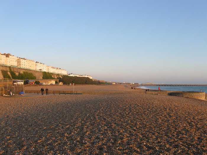
Simon Carey 
Photo: Simon Carey  CC BY-SA 2.0
Brighton Kemptown Brighton is a large resort situated on the Sussex coast of the English Channel. Brighton Kemptown beach is east of Br...
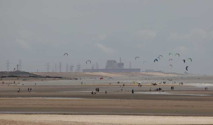
Dr Astrid Stilma
Photo: Dr Astrid Stilma CC BY-SA 4.0
Camber Camber Sands is situated at the mouth of the river Rother in Rye Bay, East Sussex. The bathing water is a wide expans...
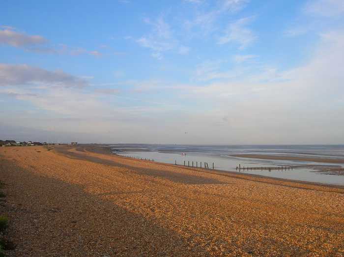
Simon Carey
Photo: Simon Carey CC BY-SA 2.0
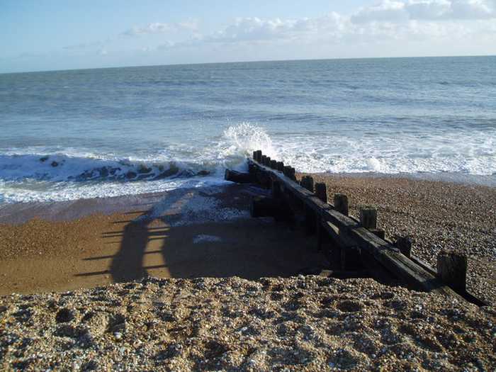
Winchelsea Winchelsea is a remote beach on the western edge of Rye Bay in East Sussex. The beach is predominantly shingle, with ...
Atelier Joly
Photo: Atelier Joly CC-BY-SA-3.0
Winchelsea Beach
Ian Rushin
Photo: Ian Rushin CC BY-SA 2.0
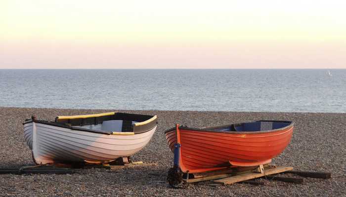
Pevensey Bay Pevensey Bay is a resort beach on the Sussex coast between Eastbourne and Hastings. The small town of Pevensey backs ...
Christine Matthews
Photo: Christine Matthews CC BY-SA 2.0
Brighton Central Brighton and Hove is a large resort situated on the Sussex coast of the English Channel. Brighton Central beach is we...
David Long
Photo: David Long CC BY-SA 2.0
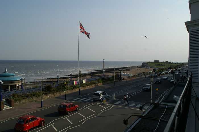
Eastbourne Eastbourne beach is a resort beach situated between the chalk cliffs of Beachy Head and Eastbourne Pier. The beach is...
Beaches close to Hastings Fairlight Glen Beach

Hastings Pelham Beach ⟼ 4.3 km away
Hastings Pelham Beach is a resort beach within the district of Hastings in East Sussex. The beach is predominantly shingle, with shallow sand flats exposed at low water. Alexandra Park Stream drains into the sea via an outfall pipe across the beach, which also is exposed at low water. A promenade is above the beach with the urban backdrop of Hastings.
Hastings Pelham Beach ⟼ 4.3 km away
St Leonards ⟼ 6.7 km away
St. Leonards is a resort beach within the district of Hastings in East Sussex. The beach is predominantly shingle, with shallow sand flats exposed at low water. There is a rocky ledge in the east of the bathing water, which is exposed at low water. Above the beach is the urban backdrop of St. Leonards.
Winchelsea ⟼ 6.8 km away
Winchelsea is a remote beach on the western edge of Rye Bay in East Sussex. The beach is predominantly shingle, with shallow sand flats exposed at low water. The bathing water quality at this beach generally achieves high standards.
Winchelsea Beach ⟼ 7.6 km away
Hastings Bulverhythe Beach ⟼ 8.1 km away
Bexhill Beach ⟼ 12.5 km away
Bexhill Beach lies 700 meters south east of Bexhill-on-Sea, East Sussex.
Bexhill ⟼ 12.6 km away
Bexhill is a resort beach situated between Eastbourne and Hastings. The beach is predominantly shingle, with shallow sandflats exposed at low water. Above the beach there is a promenade, followed by the urban backdrop of the town of Bexhill. Egerton Park Stream and the overflow from Egerton Park Lake drain onto the beach through two outfall pipes in the west of the bathing water.
Camber Beach ⟼ 12.8 km away
Camber Beach is located in East Sussex 3 kilometers south west of Camber.
Camber ⟼ 13 km away
Camber Sands is situated at the mouth of the river Rother in Rye Bay, East Sussex. The bathing water is a wide expanse of fine sand with a shallow profile and a long tidal range. It is part of a large embayment and is truncated to the west by the training wall of the River Rother. The bathing water is backed by sand dunes and a golf course to the west and a large caravan park to the east. The area close to the mouth of the Rother has strong currents.
Beach explorer UK Source for water samples and information: the Environmental Protection Agency, users of the site and local municipalities.
Source for weather data: Met Éireann© (CC BY 4.0) Disclaimer: Met Éireann does not accept any liability whatsoever for any error or omission in the data, their availability, or for any loss or damage arising from their use.
Source of satellite-read water temperature: Copernicus Sentinel satellite data from the European Space Agency.