David Long
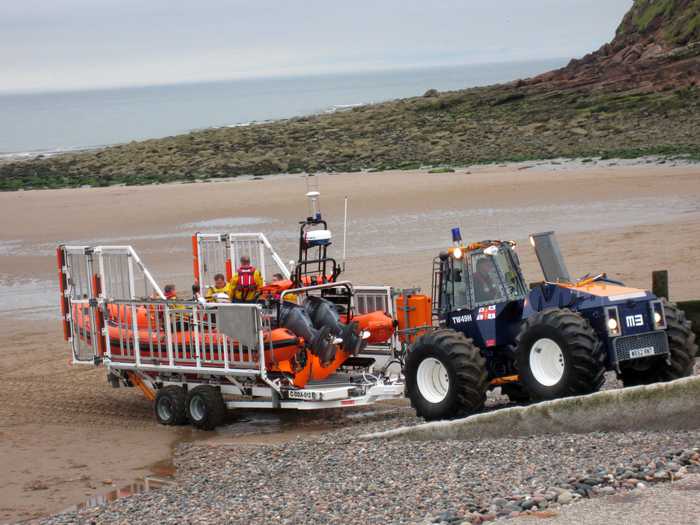
Photo: David Long CC BY-SA 2.0

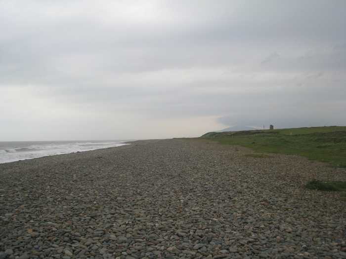
Roan Head Beach

Rating: 0.0/5 (0 votes)

  • Water temp(satellite):
  • 5.6°C
  • 2025-01-21

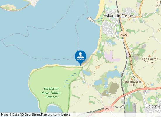
Roan Head Beach is 2 kilometers south of Askam-in-Furness in the county of Cumbria.

Weather forecast
Roan Head Beach on the map
Report water temp:

Photos near Roan Head Beach

Do you have a nice picture from Roan Head Beach?
By uploading an image, you certify that you own the image and that it may be displayed on beachexplorer.co.uk

Reviews of Roan Head Beach

No reviews of Roan Head Beach yet...
Please help the next visitor by writing a few lines about the beach, are there toilets? Is it shallow? Is there a jetty or maybe a kiosk?
What do you think of the beach?

Popular beaches near Cumbria

Jonathan Thacker 
Photo: Jonathan Thacker  CC BY-SA 2.0
Walney Sandy Gap The beach at Walney Sandy Gap is dominated by shingle for about thirty metres towards the sea and is shallow in profi...
Perry Dark
Photo: Perry Dark CC BY-SA 2.0
St Bees Beach
Alan Sillitoe
Photo: Alan Sillitoe CC BY-SA 2.0
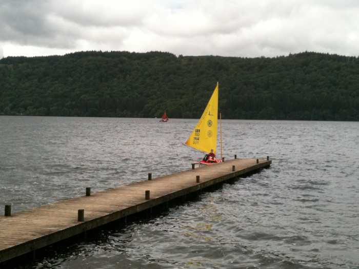
Arnside Beach Arnside Beach is situated about 1 kilometers north of Arnside.
John H Darch 
Photo: John H Darch  CC BY-SA 2.0
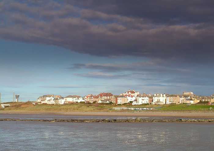
Windermere, Rayrigg Meadow Rayrigg Meadow is located on the eastern edge of Lake Windermere. The beach at Rayrigg Meadow is shallow sloping and ...
Peter Eckersley
Photo: Peter Eckersley CC BY-SA 2.0
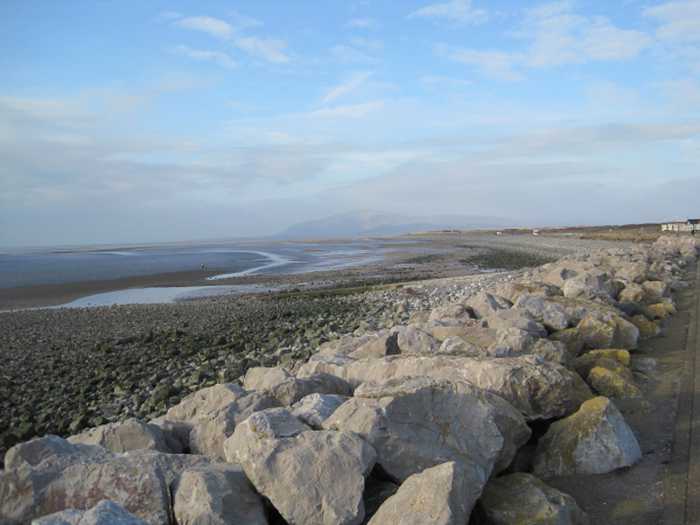
Seascale The bathing water is a gently sloping, shingle beach giving way to a large, flat sandy area towards the sea. There is...
Peter Gordois
Photo: Peter Gordois CC BY-SA 2.0
Walney West Shore Beach
Les Hull 
Photo: Les Hull  CC BY-SA 2.0
Walney West Shore Walney West Shore bathing water is a gently sloping shingle beach with a large expanse of sand exposed at low water. ...
flipflopnick
Photo: flipflopnick CC BY-SA 3.0
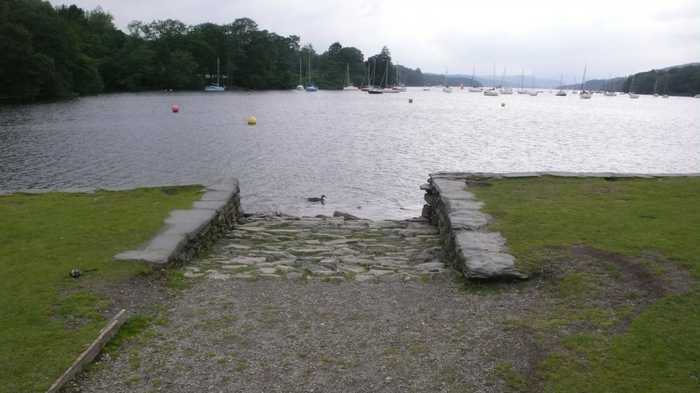
Windermere, Fellfoot Windermere Fellfoot bathing water is located at the southern end of the lake. There is a National Trust park leading ...
Beaches close to Roan Head Beach

Askam-in-Furness Beach ⟼ 2.1 km away
Askam-in-Furness Beach is situated about 600 meters south west of Askam-in-Furness.
Haverigg ⟼ 4.5 km away
Haverigg is a gently sloping gravel and sandy beach for which levels out to flat sand. At low tide the water retreats a long way from the beach exposing sands of the Duddon estuary. There is a channel wall to the east of the bathing water which guides the Haverigg Pool, a local stream, out to sea.
Haverigg Beach ⟼ 4.6 km away
Barrow-in-Furness Beach ⟼ 4.9 km away
Barrow-in-Furness Beach is located in Cumbria 2 kilometers north west of Barrow-in-Furness.
Millom Beach ⟼ 5.3 km away
Walney West Shore Beach ⟼ 6.1 km away
Walney West Shore ⟼ 6.3 km away
Walney West Shore bathing water is a gently sloping shingle beach with a large expanse of sand exposed at low water. The beach is the most northerly of the bathing waters on Walney Island.
Walney Sandy Gap ⟼ 8 km away
The beach at Walney Sandy Gap is dominated by shingle for about thirty metres towards the sea and is shallow in profile. Beyond this, the beach levels, and becomes sandy down to the sea.
Walney Biggar Bank Beach ⟼ 8.7 km away
Beach explorer UK Source for water samples and information: the Environmental Protection Agency, users of the site and local municipalities.
Source for weather data: Met Éireann© (CC BY 4.0) Disclaimer: Met Éireann does not accept any liability whatsoever for any error or omission in the data, their availability, or for any loss or damage arising from their use.
Source of satellite-read water temperature: Copernicus Sentinel satellite data from the European Space Agency.