Ken Ballinger
Photo: Ken Ballinger CC BY-SA 2.0

Praa Sands East

Rating: 0.0/5 (0 votes)

  • Water temp(satellite):
  • 10.5°C
  • 2025-01-21

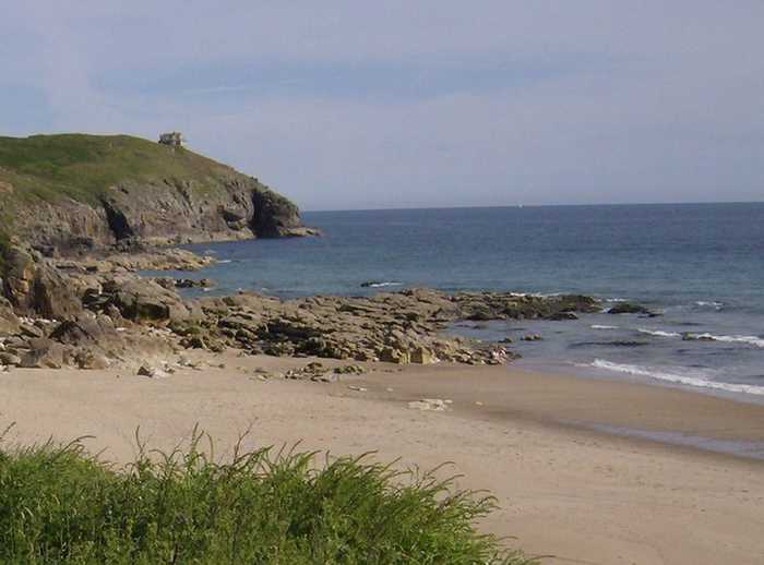
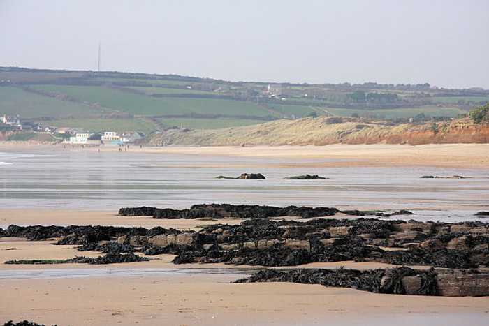
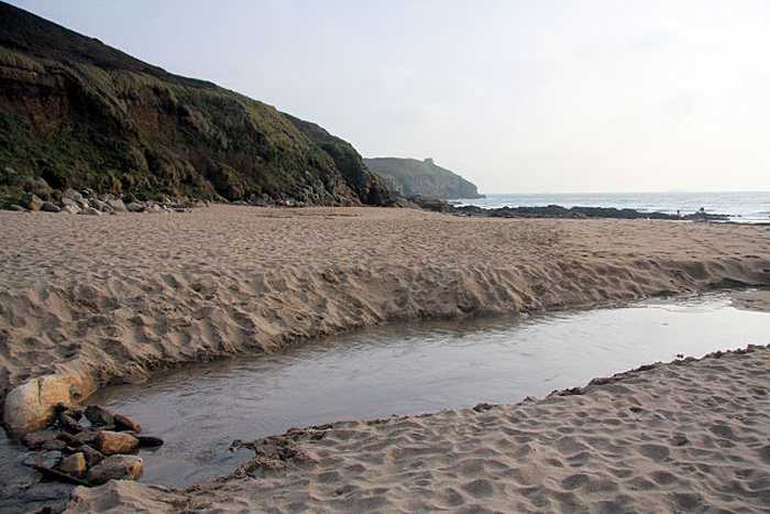
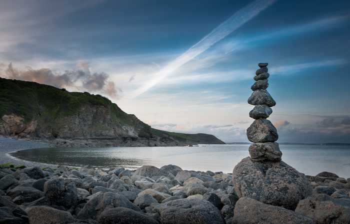
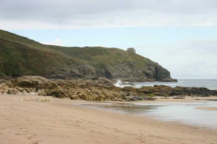
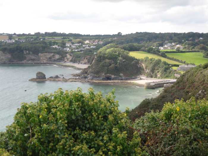
Praa Sands is on the south coast of Cornwall. It is a sandy beach resort, approximately 1.3 kilometres wide, backed by sand dunes. There are rock pools at the eastern end of the beach at low tide.

Weather forecast
Praa Sands East on the map
Report water temp:

Photos near Praa Sands East

Graham Horn
Photo: Graham Horn CC BY-SA 2.0
Bob Jones
Photo: Bob Jones CC BY-SA 2.0
Bob Jones
Photo: Bob Jones CC BY-SA 2.0
Rod Allday 
Photo: Rod Allday  CC BY-SA 2.0
Do you have a nice picture from Praa Sands East?
By uploading an image, you certify that you own the image and that it may be displayed on beachexplorer.co.uk

Reviews of Praa Sands East

No reviews of Praa Sands East yet...
Please help the next visitor by writing a few lines about the beach, are there toilets? Is it shallow? Is there a jetty or maybe a kiosk?
What do you think of the beach?

Popular beaches near Cornwall

Barney Moss from London UK
Photo: Barney Moss from London UK CC BY 2.0
Porthallow Porthallow is on the south coast of Cornwall. It is a remote pebble and shingle beach, approximately 150 metres wide,...
Sarah Charlesworth
Photo: Sarah Charlesworth CC BY-SA 2.0
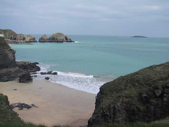
Mother Ivey`s Bay Mother Ivey's Bay is on the north coast of Cornwall. It is a rural sandy beach, approximately 480 metres wide, backed...
Darren Rosson
Photo: Darren Rosson CC BY-SA 2.0
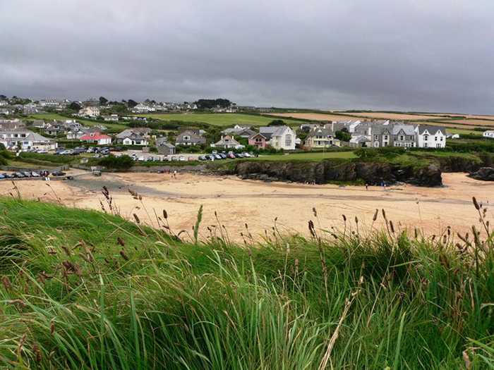
Trevone Bay Trevone Bay is on the north coast of Cornwall. It is a fairly remote sandy beach, approximately 170 metres wide, in a...
Michael Murray
Photo: Michael Murray CC BY-SA 2.0
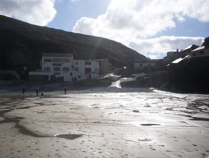
Trevaunance Cove Trevaunance Cove is on the north coast of Cornwall. It is a sand and rock beach resort, approximately 250 metres wide...
Eryka Hurst
Photo: Eryka Hurst CC BY-SA 2.0
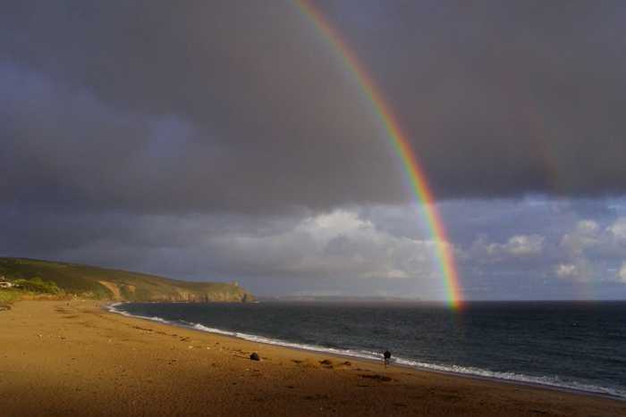
Perranuthnoe Perranuthnoe is on the south coast of Cornwall. It is a rural sandy beach, approximately 350 metres wide, backed by c...
Caroline Tandy
Photo: Caroline Tandy CC BY-SA 2.0
Duporth Beach
Jim Champion
Photo: Jim Champion CC BY-SA 2.0
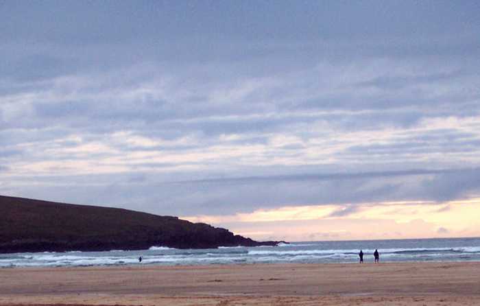
Praa Sands West Praa Sands is on the south coast of Cornwall. It is a sandy beach resort, approximately 1.3 kilometres wide, backed b...
Trish Steel
Photo: Trish Steel CC BY-SA 2.0
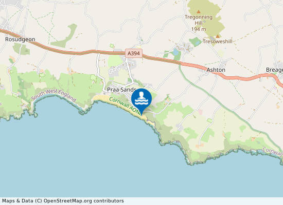
Crantock Crantock Beach is on the north coast of Cornwall at the mouth of the Gannel Estuary. It is a sandy beach resort, appr...
Beaches close to Praa Sands East

Praa Sands East Beach ⟼ 0.1 km away
Praa Sands East Beach lies 3 kilometers south west of Breage, Cornwall.
Praa Sands West ⟼ 1 km away
Praa Sands is on the south coast of Cornwall. It is a sandy beach resort, approximately 1.3 kilometres wide, backed by sand dunes. The western end of the beach is less rocky and the Germoe Stream flows across the beach to the sea. Praa Sands West Beach is located in Cornwall 4 kilometers south west of Breage.
Rinsey Head Beach ⟼ 1.1 km away
Rinsey Head Beach is situated about 3 kilometers south west of Breage.
Perranuthnoe ⟼ 4.8 km away
Perranuthnoe is on the south coast of Cornwall. It is a rural sandy beach, approximately 350 metres wide, backed by cliffs.
Porthleven Sands ⟼ 5 km away
Porthleven Sands bathing water is at the western end of Porthleven Sands on the south coast of Cornwall. It is a shingle beach resort approximately 330 metres wide backed by cliffs.
Porthleven West Beach ⟼ 5.2 km away
Porthleven West Beach is located 1 kilometers south of Porthleven in the county of Cornwall.
Marazion Causeway Beach ⟼ 7.4 km away
Marazion ⟼ 7.9 km away
Mounts Bay is on the south coast of Cornwall. There are four designated bathing waters located around the bay - Wherry Town, Penzance, Long Rock and Marazion. All the beaches are sandy resorts backed by sea defences. Marazion beach is approximately 880 metres wide. The Red River flows onto the centre of Marazion beach.
Jangye Ryne Beach ⟼ 10 km away
Long Rock ⟼ 10.4 km away
Mounts Bay is on the south coast of Cornwall. There are four designated bathing waters located around the bay - Wherry Town, Penzance, Long Rock and Marazion. All the beaches are sandy resorts backed by sea defences. Heliport beach is approximately one kilometre wide. The Ponsandane Brook flows onto the western end of Heliport beach.
Beach explorer UK Source for water samples and information: the Environmental Protection Agency, users of the site and local municipalities.
Source for weather data: Met Éireann© (CC BY 4.0) Disclaimer: Met Éireann does not accept any liability whatsoever for any error or omission in the data, their availability, or for any loss or damage arising from their use.
Source of satellite-read water temperature: Copernicus Sentinel satellite data from the European Space Agency.