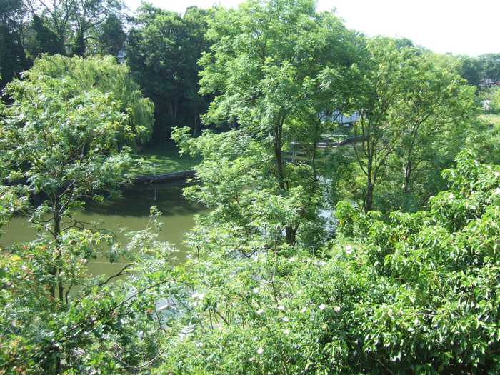
Nick
Photo: Nick CC BY 2.0

Henleaze Lake

Rating: 0.0/5 (0 votes)

  • Water temp(satellite):
  • 5.7°C
  • 2025-01-21

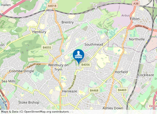
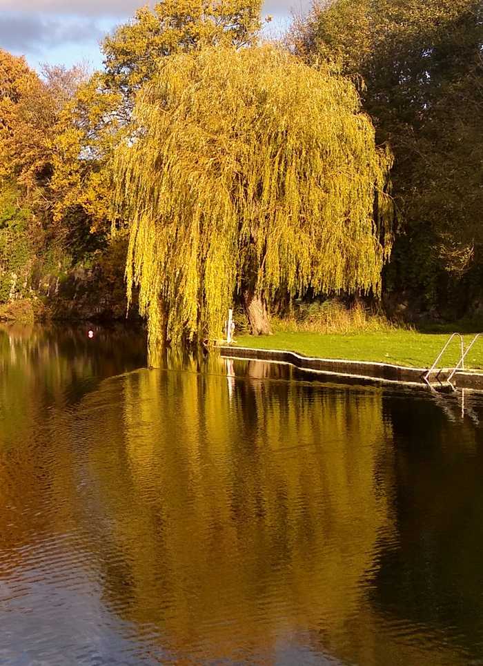
Henleaze Lake is situated in the Bristol suburb of Henleaze, 3 miles from the city centre. This former quarry is approximately four hundred metres long and thirty metres wide, with an average depth of three metres increasing to six metres under the diving area. Swimming access is via pontoons and diving boards at the southern end of the lake. There is no beach at the lake; however a lawn area exists at the southern end, a steep rock face around the north and eastern edges and a wooded bank on the west shore. The lake is entirely spring-fed and has a variety of recreational uses, principally swimming and angling. The Lake is open to members and their guests only, from May to September

Weather forecast
Henleaze Lake on the map
Report water temp:

Photos near Henleaze Lake

C P Smith 
Photo: C P Smith  CC BY-SA 2.0
Do you have a nice picture from Henleaze Lake?
By uploading an image, you certify that you own the image and that it may be displayed on beachexplorer.co.uk

Reviews of Henleaze Lake

No reviews of Henleaze Lake yet...
Please help the next visitor by writing a few lines about the beach, are there toilets? Is it shallow? Is there a jetty or maybe a kiosk?
What do you think of the beach?

Beaches close to Henleaze Lake

Clevedon Bay ⟼ 18.7 km away
Clevedon Bay beach is in North Somerset, 1 kilometers west of Clevedon.
Clevedon Beach ⟼ 19.1 km away
Clevedon Beach is on the Somerset coast overlooking the Bristol Channel. It is a sand and pebble beach, approximately 850 metres wide, backed by the promenade and the town. There is a marine lake at the beach which is filled by sea water on high tides.
Clevedon Beach ⟼ 19.1 km away
Clevedon Beach is 1 kilometers west of Clevedon in the county of North Somerset.
Weston-super-Mare Sand Bay ⟼ 28 km away
Weston-super-Mare Sand Bay ⟼ 28.8 km away
Weston-super-Mare Sand Bay is on the Somerset coast overlooking the Bristol Channel. It is a sand and shingle beach resort, approximately five kilometres wide, backed by sand dunes. There is a saltmarsh at the northern end, and Sand Point Headland is a Site of Special Scientific Interest (SSSI).
Weston-super-Mare Grand Pier Beach ⟼ 30.8 km away
Weston-super-Mare Marine Lake Beach ⟼ 30.9 km away
Weston Main ⟼ 31.2 km away
Weston-super-Mare Main is on the Somerset coast overlooking the Bristol Channel. It is a sandy beach, approximately two kilometres wide, close to the town.
Weston-super-Mare Royal Sands ⟼ 31.8 km away
Weston-super-Mare Uphill Slipway ⟼ 32.6 km away
Weston-super-Mare Uphill Slipway beach is on the Somerset coast overlooking the Bristol Channel. It is a sandy beach resort approximately 1.2 kilometres wide, next to the mouth of the River Axe. The Bristol Channel has a large tidal range and at low water mud can become exposed.
Beach explorer UK Source for water samples and information: the Environmental Protection Agency, users of the site and local municipalities.
Source for weather data: Met Éireann© (CC BY 4.0) Disclaimer: Met Éireann does not accept any liability whatsoever for any error or omission in the data, their availability, or for any loss or damage arising from their use.
Source of satellite-read water temperature: Copernicus Sentinel satellite data from the European Space Agency.